April 22nd: Funnel Cloud/Poss. Tornado, New Forest (2 parts)
April continued unsettled towards the end of the month with another day of heavy showers on the 22nd. I went out early afternoon with the camera, in the hope of some photogenic skies, but everything was very messy with lots of low cloud and only moderate showers. Most of the heavier ones
were just to the north and formed into lines. However, things picked up towards the late afternoon with a line of heavier showers forming along a convergence zone about 6 miles inland from the coast. The first image was taken at around 5 p.m. with a heavy hail shower approaching me from the west:
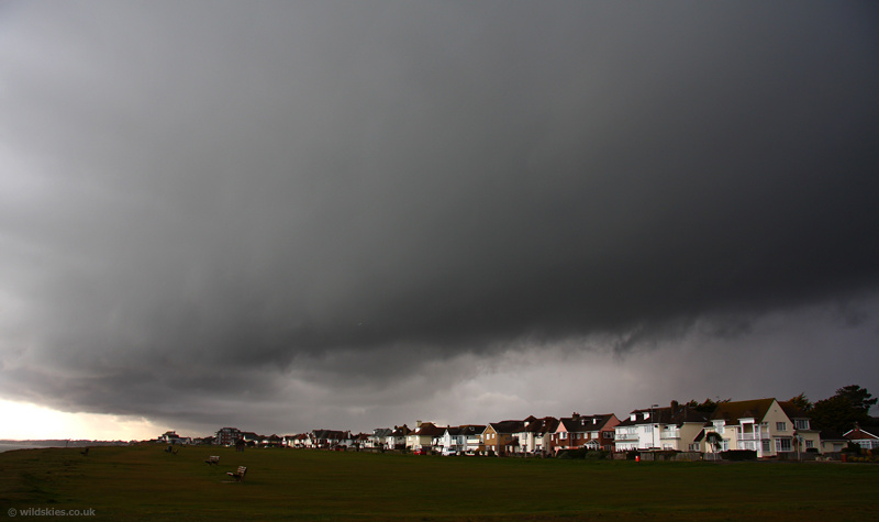
The line of showers produced an outflow boundary that developed more cells to the south. I drove underneath and headed to the seafront just in time to see a 'whale's mouth' gust front travel overhead from the north. The first photo shows it approaching from the north:
Another convergence line seemd to form right along the coast. Cloud motion was very visible and the odd patch of rotation passed overhead on the leading edge:
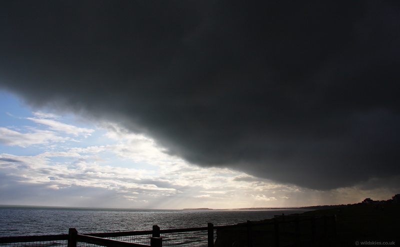
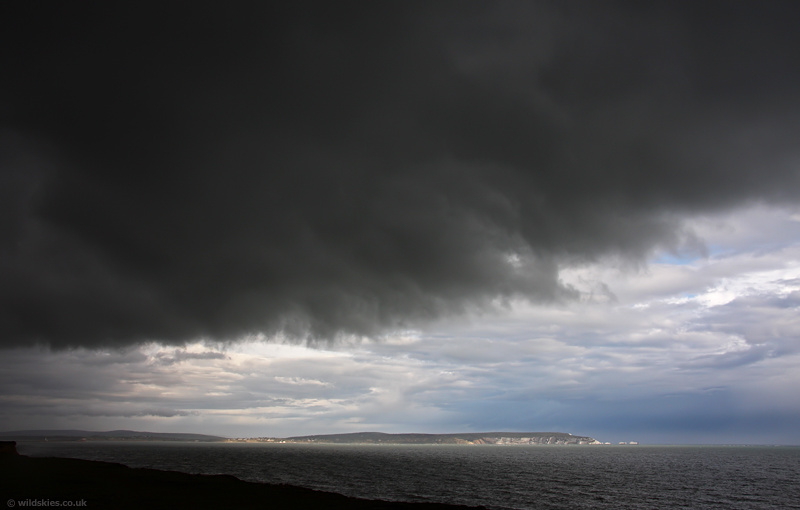
Looking out to sea from underneath the gust front:
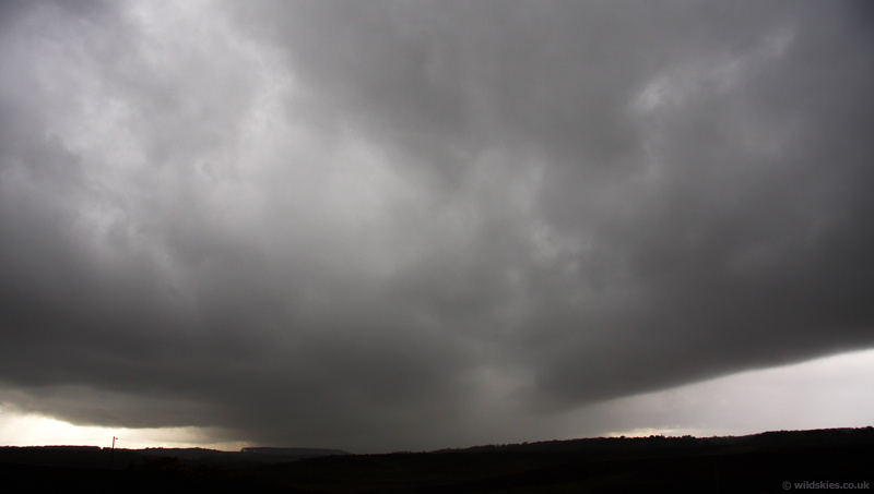
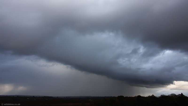
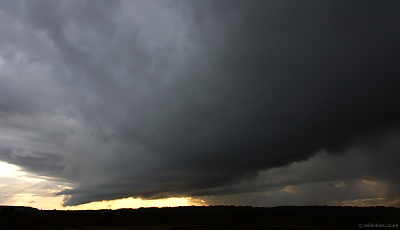
This lot moved swiftly eastwards, so after heading home for a while I headed back out into the New Forest. I was surprised to see the earlier line of showers was still there, and much more vigorous. The time of this shot was around 1925 BST:
I then glanced to the west and noticed a very pronounced lowering on the southern edge of the convergence line. I assumed it was just a shelf cloud, but decided to drive to a better spot to get a full view as it was so low that the trees were obscuring the base!
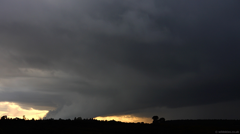
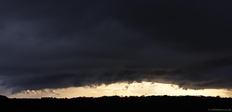
When I got a better vantage point it started looking very interesting! The base was probably only a 200-300ft above the ground and appeared to be a new cell forming.
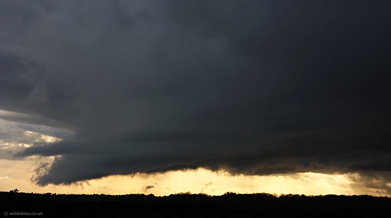
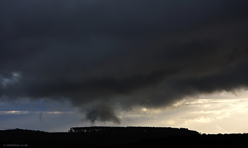
It then started to move directly towards me, backlit by the setting Sun. It was now nearly 7:45 p.m. Note the scud being formed at treetop level and drawn into the cloudbase:
The cloud motion above was all over the place now, with several zones of strong rotation very clear to see, even right overhead! About 1/4 mile to my SW a wall cloud quickly developed where the strongest circulation was happening:
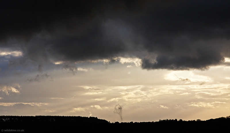
Slightly to the north the first spin-up occurred, lifting scud quickly up from the trees: