April 28th: Thunderstorms, Western New Forest (Part 1)
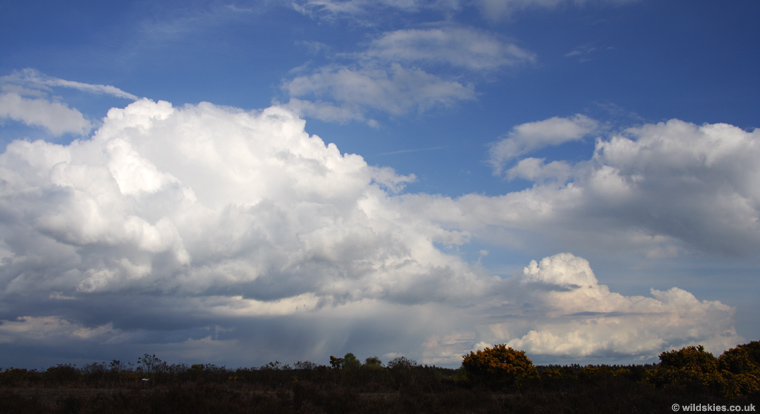
The first thunderstorms of 2009 occurred today (last thunder was August last year), as a 'slack' flow was positioned over Southern England, and slow-moving convection started from late morning. Towards mid-afternoon, things were looking disappointing, with just a few moderate showers around and lots of cloud, but by 4:30 p.m (BST), some stronger development was starting just inland, possibly triggered by a sea-breeze convergence. Here is the scene around 5:15 p.m:
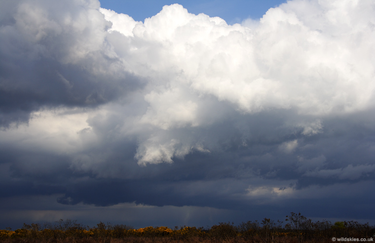
Visibility was good too, allowing nice views of the updraughts and cloudbases:
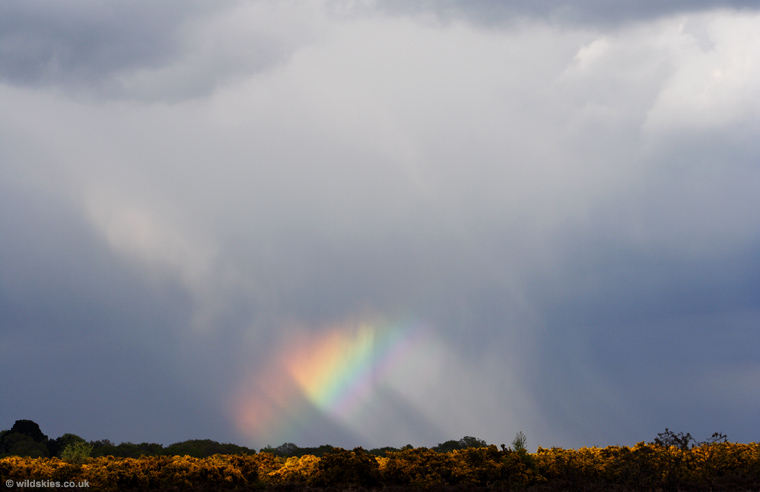
This small, but bright, rainbow formed from a hail shower just to my north:
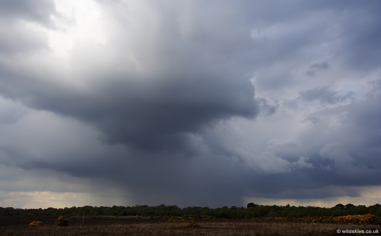
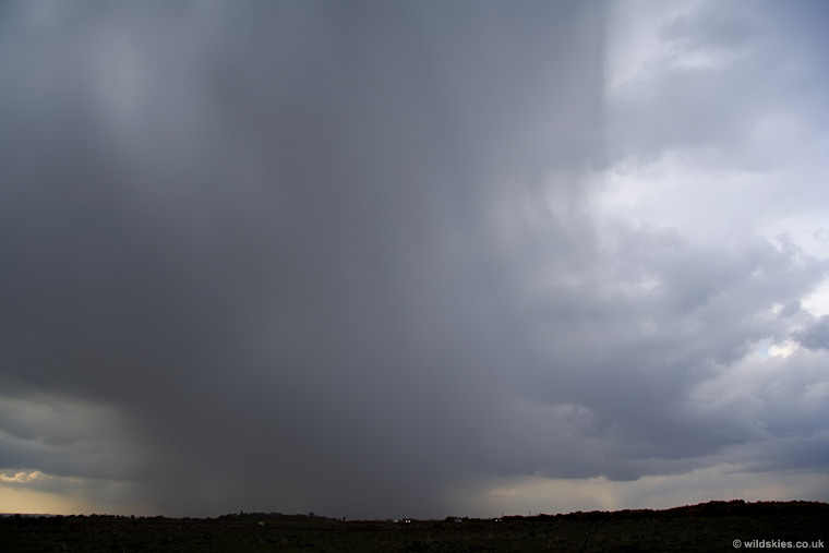
Then the first rumble of thunder caught my attention from a cell to my northwest. It looked quite innocent untill the first rumble, after which it continued rumbling every 30 seconds or so, with a very heavy rain/hail core:
Since it was moving very slowly, I couldn't resist driving into it to see what it was producing. Lots of small (pea-sized) hail and heavy rain, but it was starting to decay already:
The sky was becoming very dark back towards the SE, where I had come from, so decided to head back to see what was over the hill. The storm that greeted me was spectacular, and can be seen in part 2: