April 28th: Thunderstorms, Western New Forest (Part 2)
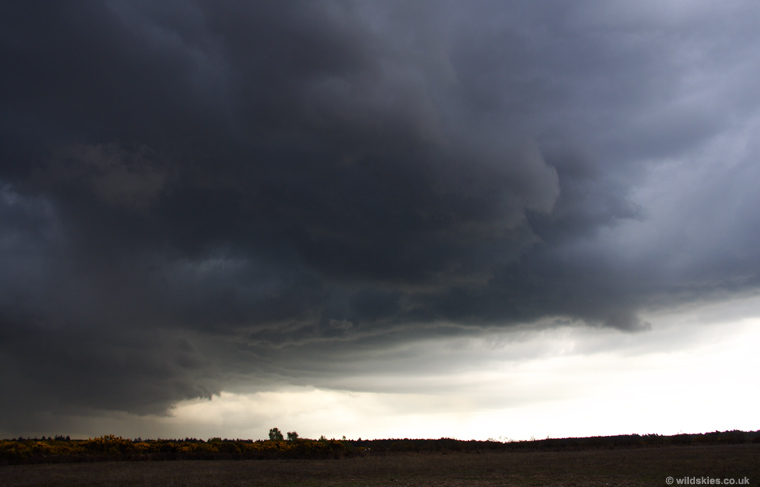
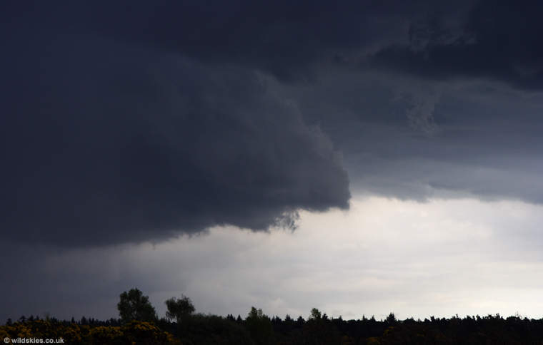
Some of the darkest cloudbases I'd seen for years were revealed as I drove out of the forest towards the storm. It covered more than half the sky, but remained dry at my location, allowing me a trouble-free view:
Smooth inflow to the south of the storm was producing a clear, dark cloudbase. A small gust front was starting to develop to the left. To the right (south), the sky was largely clear by the coast:
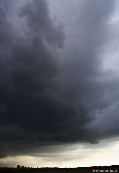
Another view of the storm, with the lens at 17mm:
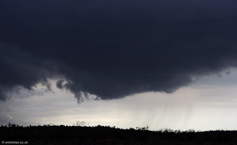
The gust front was creating a 'wave' effect just ahead of it, which could be seen moving in towards the storm as I watched:
There was a huge contrast between the black clouds overhead and the clear air to the south:
Then I heard a loud crack of thunder in the opposite direction. I turned around to find a new storm had formed on the outflow boundary of the first storm in part 1. It was near to Bournemouth Airport at the time:
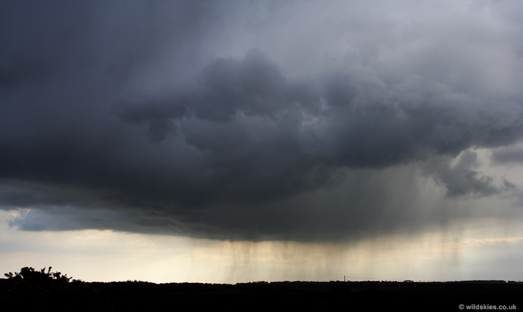
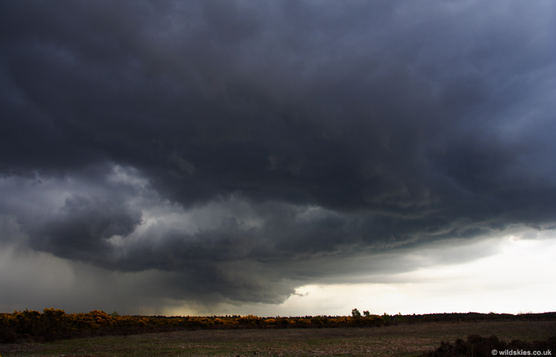
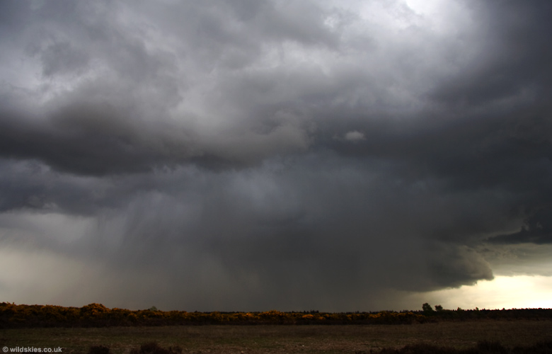
Meanwhile, the larger storm had a developing shelf cloud/gust front advancing towards the coast:
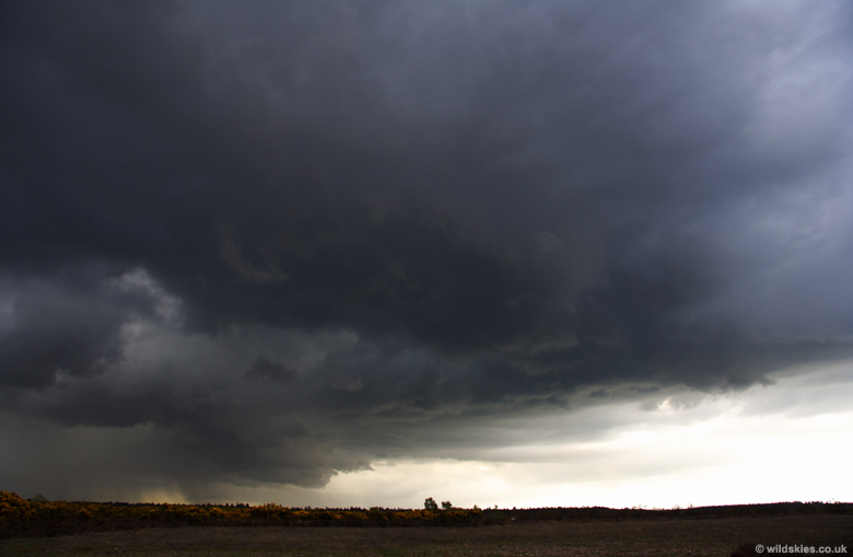
As you can see, the heavy rain and hail was now dominating the storm, and it was beginning to lose intensity slightly:
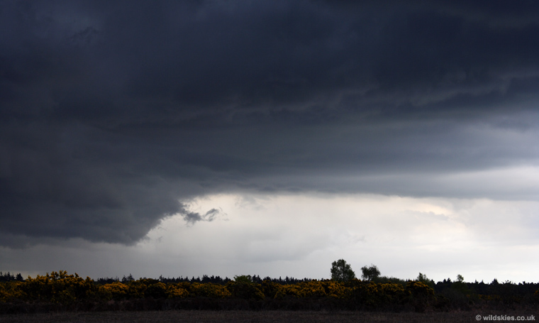
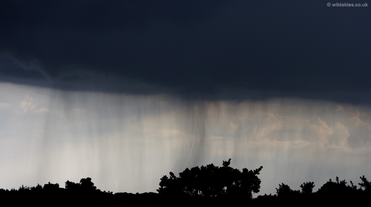
But this allowed further small showers to develop along the outflow boundary:
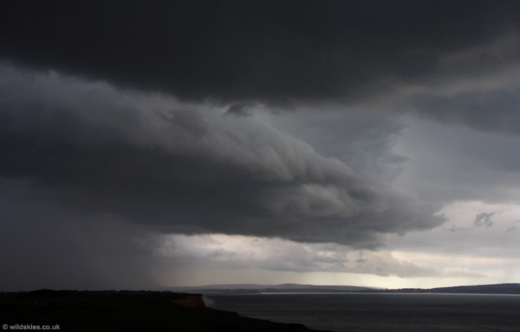
Finally, as the storm moved south, I followed it to the coast (via plenty of flooded roads), arriving just in time to see the gust front arrive at the sea front, heading towards the Isle of Wight: