June 26th: Thunderstorms, Linconshire and Yorkshire
Being unable to go to the USA to chase this year had given me itchy feet to get out in the UK and at least see some kind of storm, even if it isn't to US standards. Unfortunately near home and in most southern parts of the UK so far this year there have been very few chances; at home we'd only had under an inch of rain since the end of April and hardly any convective weather. The best was always reserved for the Midlands northwards.
Therefore, as the heatwave (33C+ in the SE) was due to come to an end with another whimper in the south I decided to go for it and head to the NE of England to find some, potentially severe, storms.
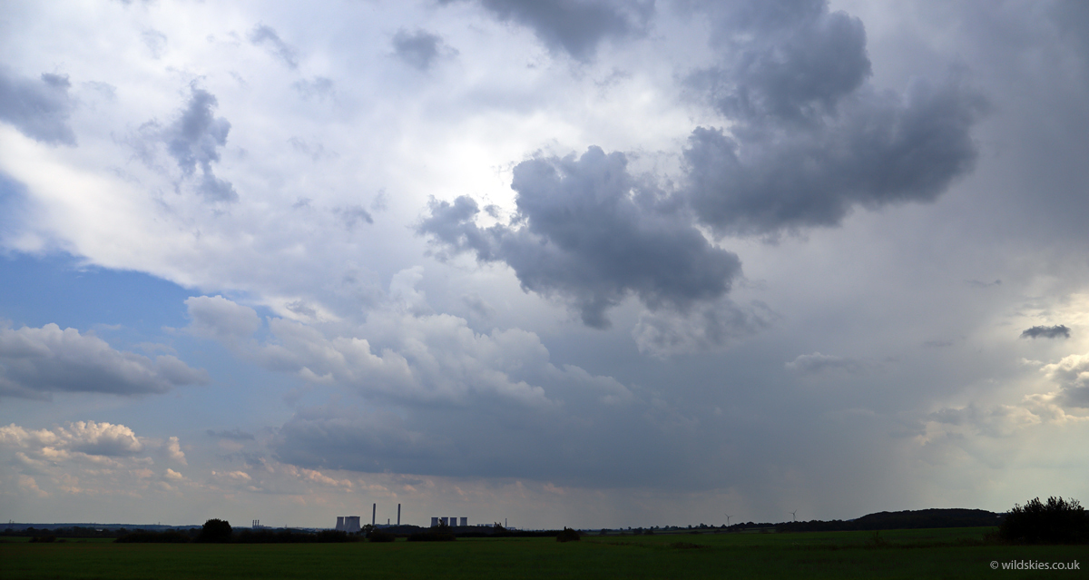
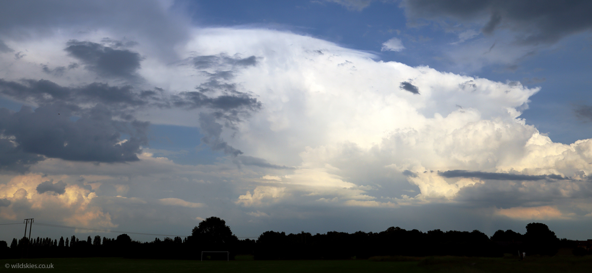
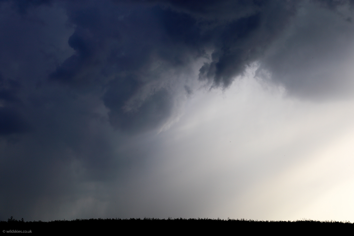
I arrived about 30 miles south of Leeds early afternoon and the temperature in the area was already above 30C and a few small cumulus started to form. I initially targeted Leeds for storms, but after seeing some model indications of storms more towards Lincolnshire and a possible convergence zone inland from the east coast I aimed for Lincon instead. The car thermometer read 34.5C when I got to Lincoln just after 3 p.m. (it tends to overread by 1.5-2.0C) so the atmosphere was ripe for storms. Sure enough the first ones appeared around 4 p.m. This one near Beckingham, Lincs:
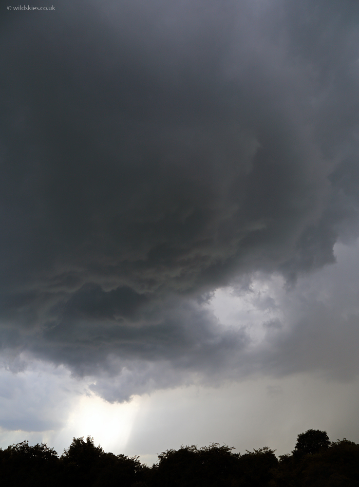
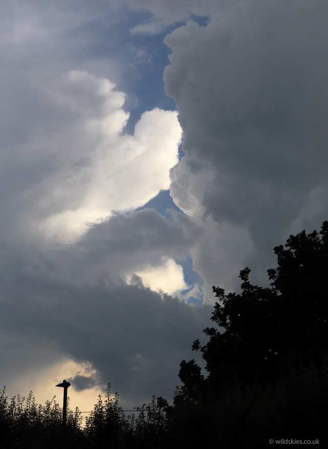
This one soon weakened, but another was constantly rumbling just to my west, so I headed up the road to Hatfield, Yorks to try and catch it. I caught the end of the storm as I drove through its rain, but parked up and watched the spectacular updraughts as it moved away. Smaller storms formed behind giving one close CG lightning strike:
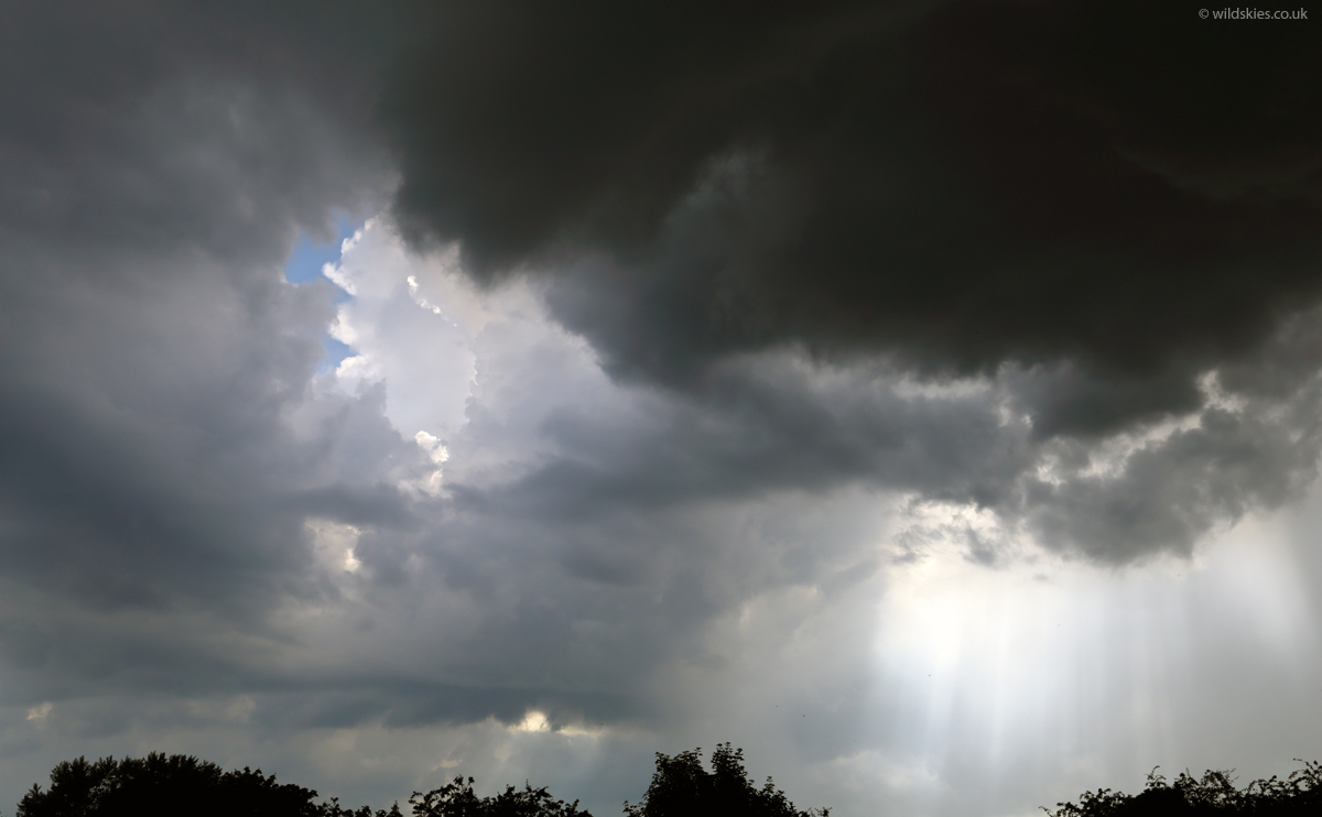
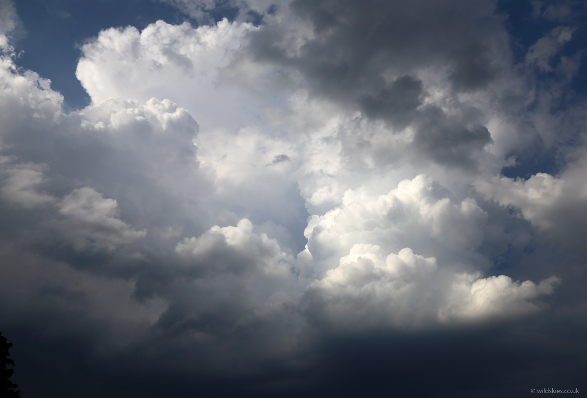
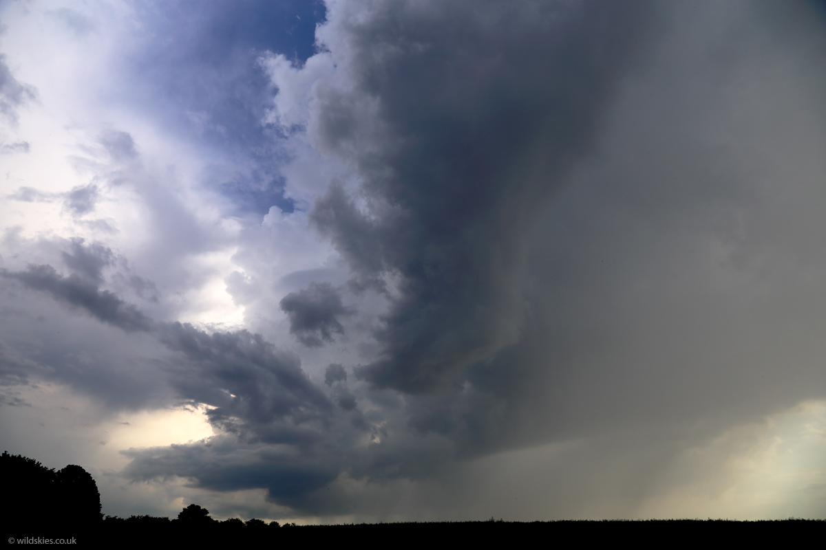
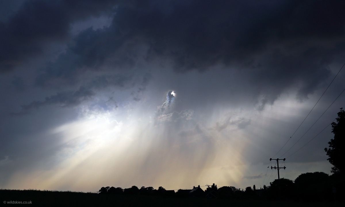
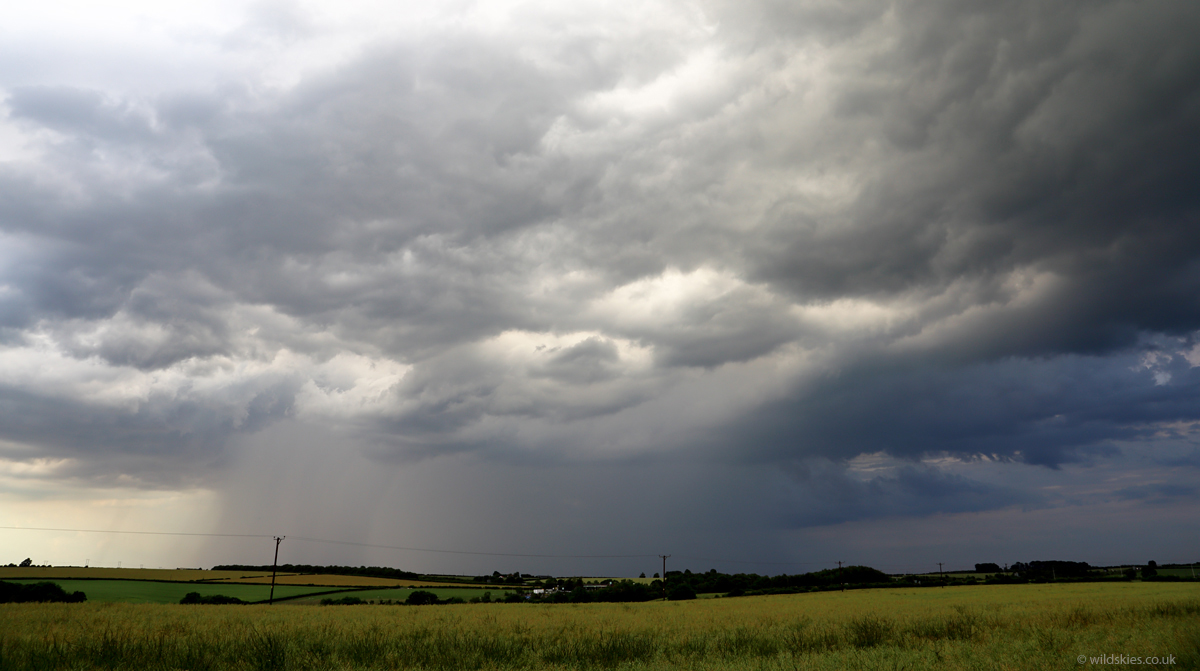
I had a good view of more distant storms to my east:
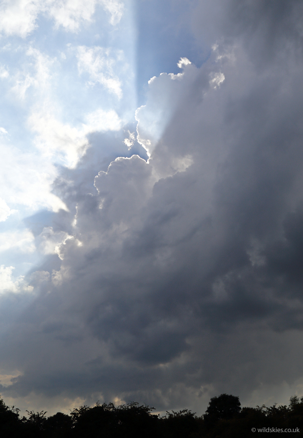
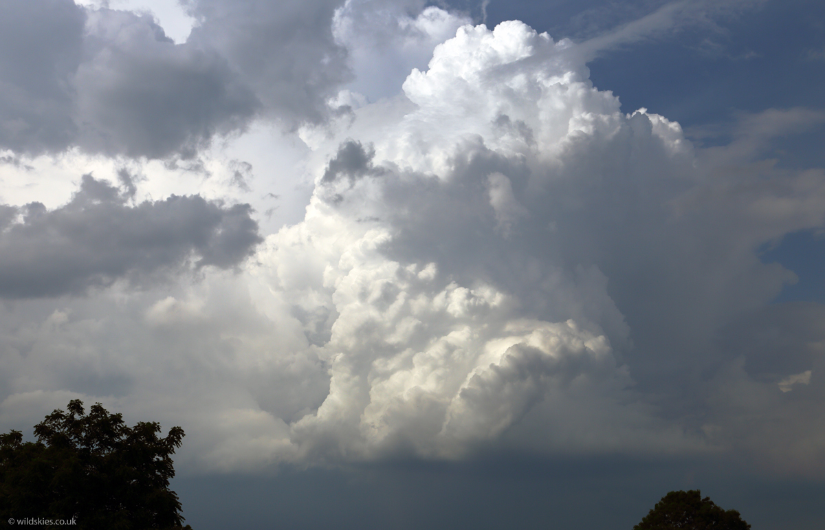
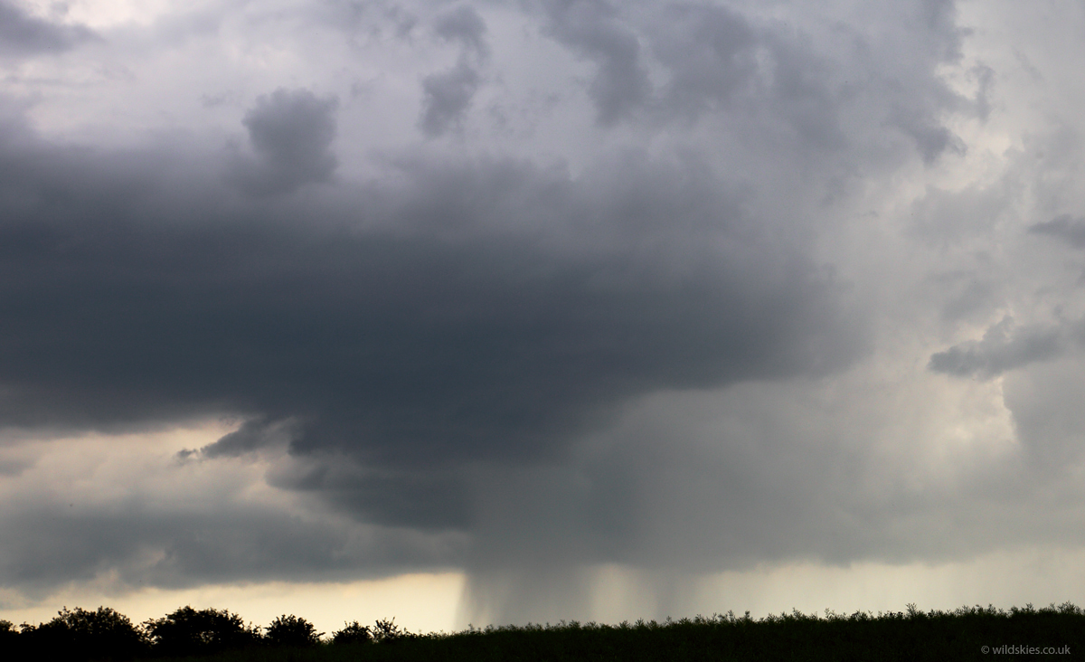
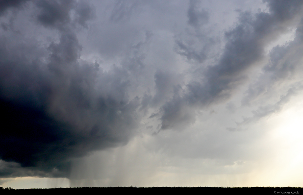
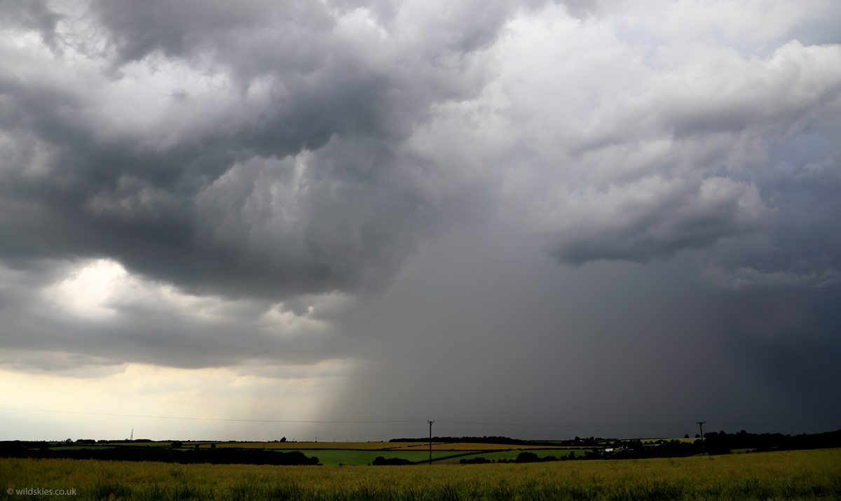
After this initial wave of storms things started to look less hopeful for the area I was in. Meanwhile a severe storm was giving hail up to 5cm across in the Leeds/Sheffield area. Frustrated, I tried to make the most of what was left; the radar showed some smaller storms that were developing nearer the coast to the south, where convergence was stronger. I headed in the direction of Grimsby but the storms had increased and become more substatial, so I stoped at the village of Kirmington. There was a line of forming storms on the coastal boundary, one forming after the other. I was just to the east of them so stayed mostly dry until one made a direct hit. The first shot is of a new updraught forming right overhead. Thunder was constant by this point:
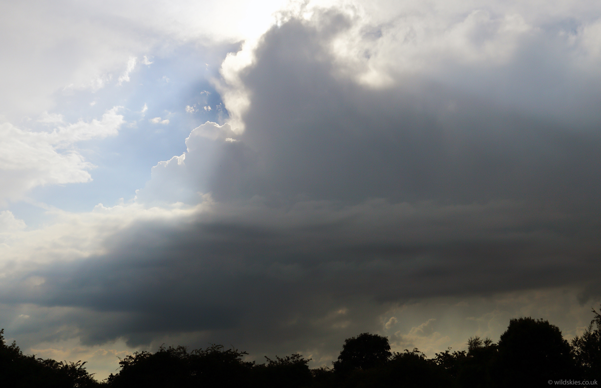
I found a vantage point in a nearby field and watched 3-4 storms form and pass my location to the east. I stayed dry for nearly an hour:
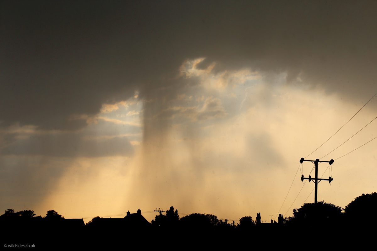
The lowering sun was making some very nice light at times:
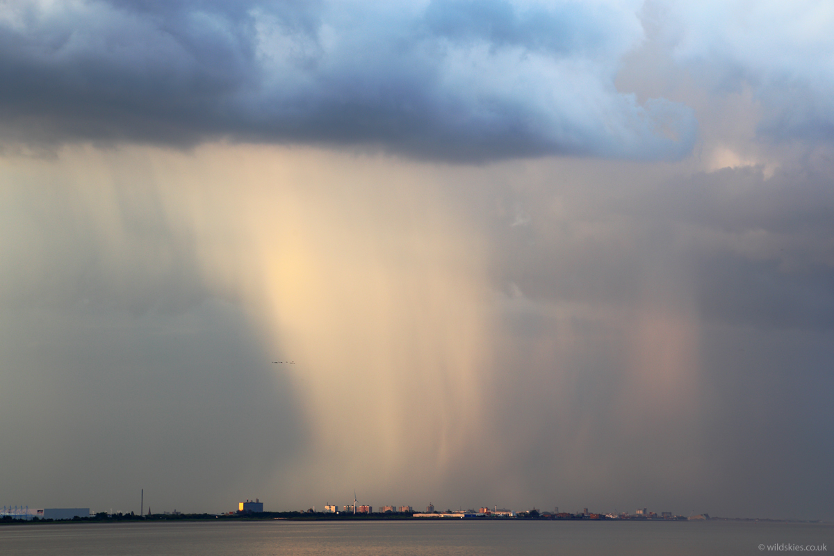
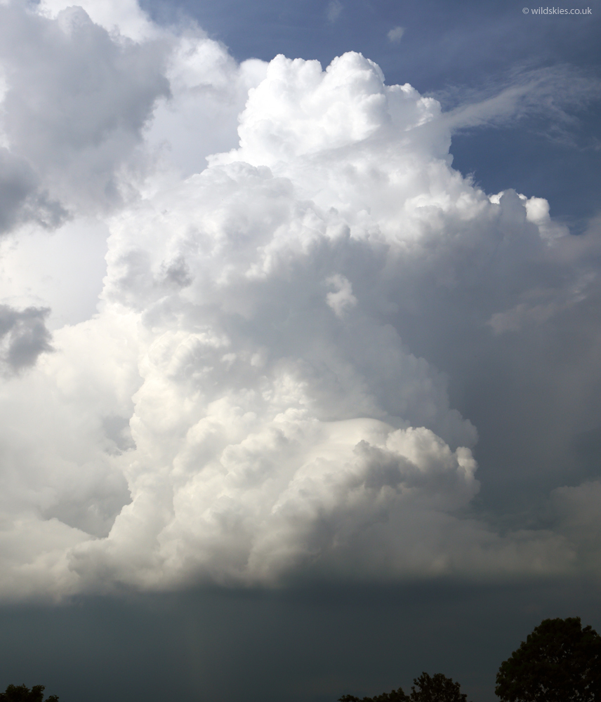
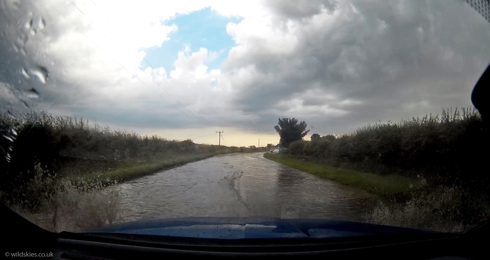
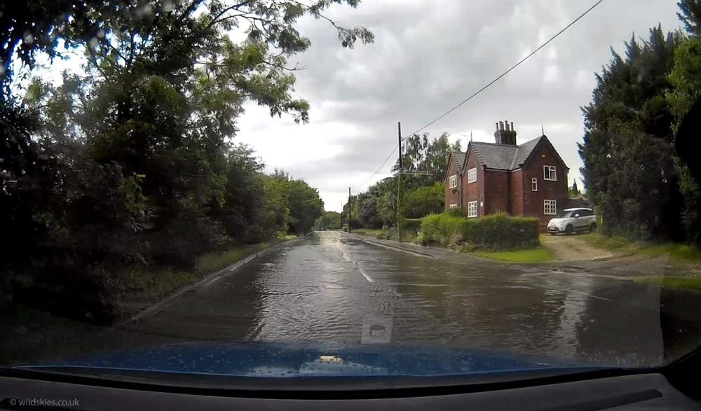
The last storm in the line was by far the strongest and dumped a huge amount of rain. I drove through the torrential rain and when I cam out the other side there was significant surface flooding. The following 2 shots are from my dashcam:
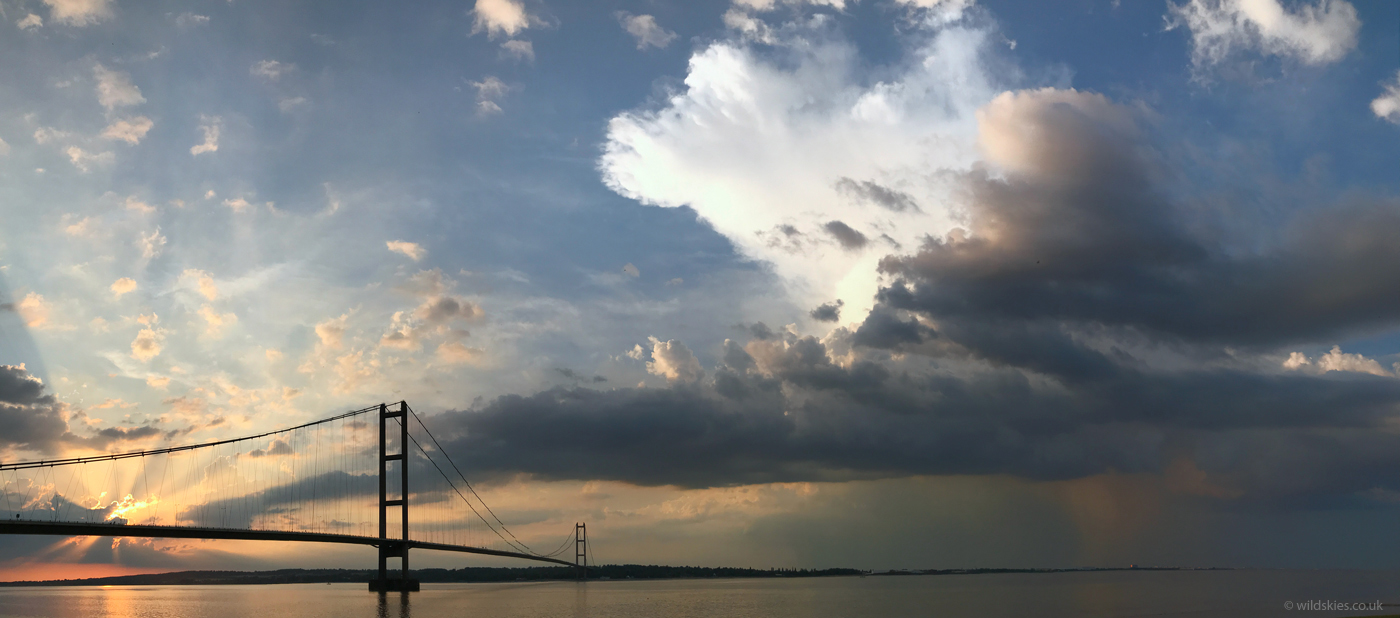
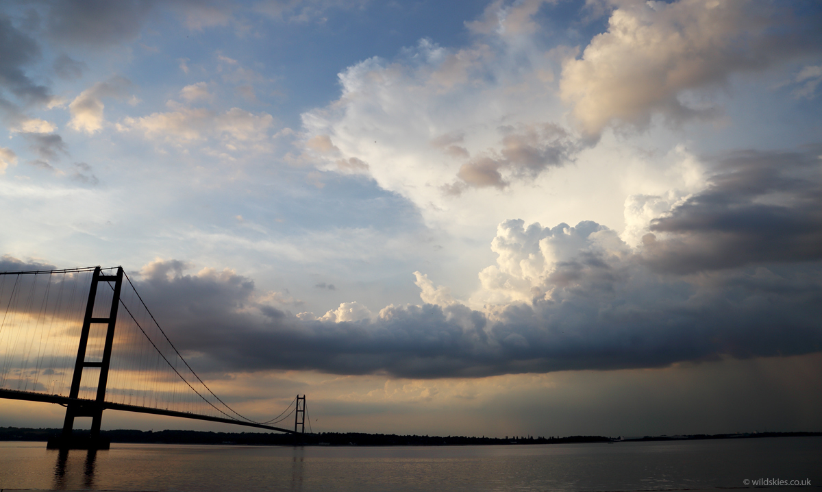
A few miles up the road I found a vantage point to watch the storm slowly roll away to my north and towards the Humber:
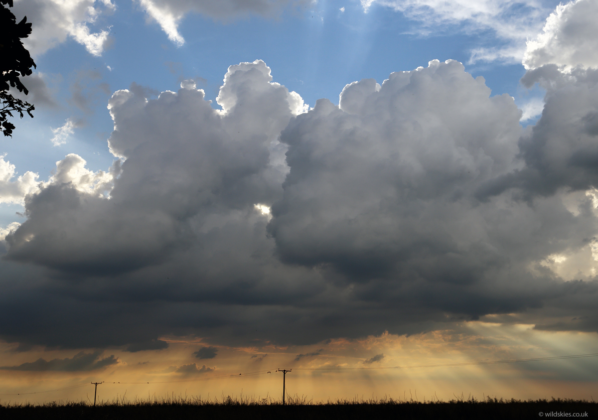
Again, the lowering sun created some amazing scenes to the west as new showers formed:
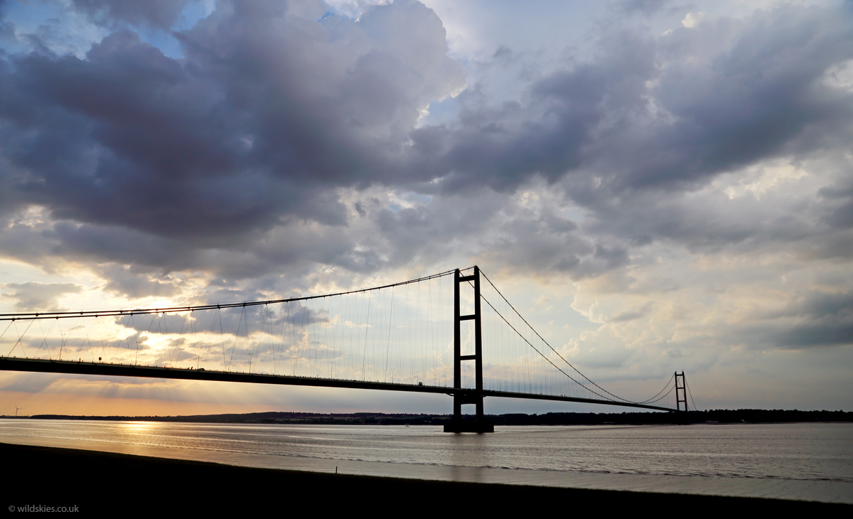
As this was the last storm of the day I decided to see if I could get a view of it as it moved across the Humber as it was only a few miles away. I saw signs for a viewpoint, but didn't know what to expect. It turned out to be a lucky decision as I had a perfect view of the storm moving away, still rumbling, as the sun set behind the Humber Bridge.
It was a long day, and my longest UK storm chase at 618 miles, but the last couple of hours of storms made it worthwhile, especially as it's nearly a year until I go back to the US!