June 11th: Rotating Storm - Holt Heath - Dorset
This was an interesting day! For most of the day we had a strong, cold easterly wind bringing light showers along the south coast. However, a convergence line developed just inland from the coast by the afternoon and a few thunderstorms formed and moved by to the north of my location.
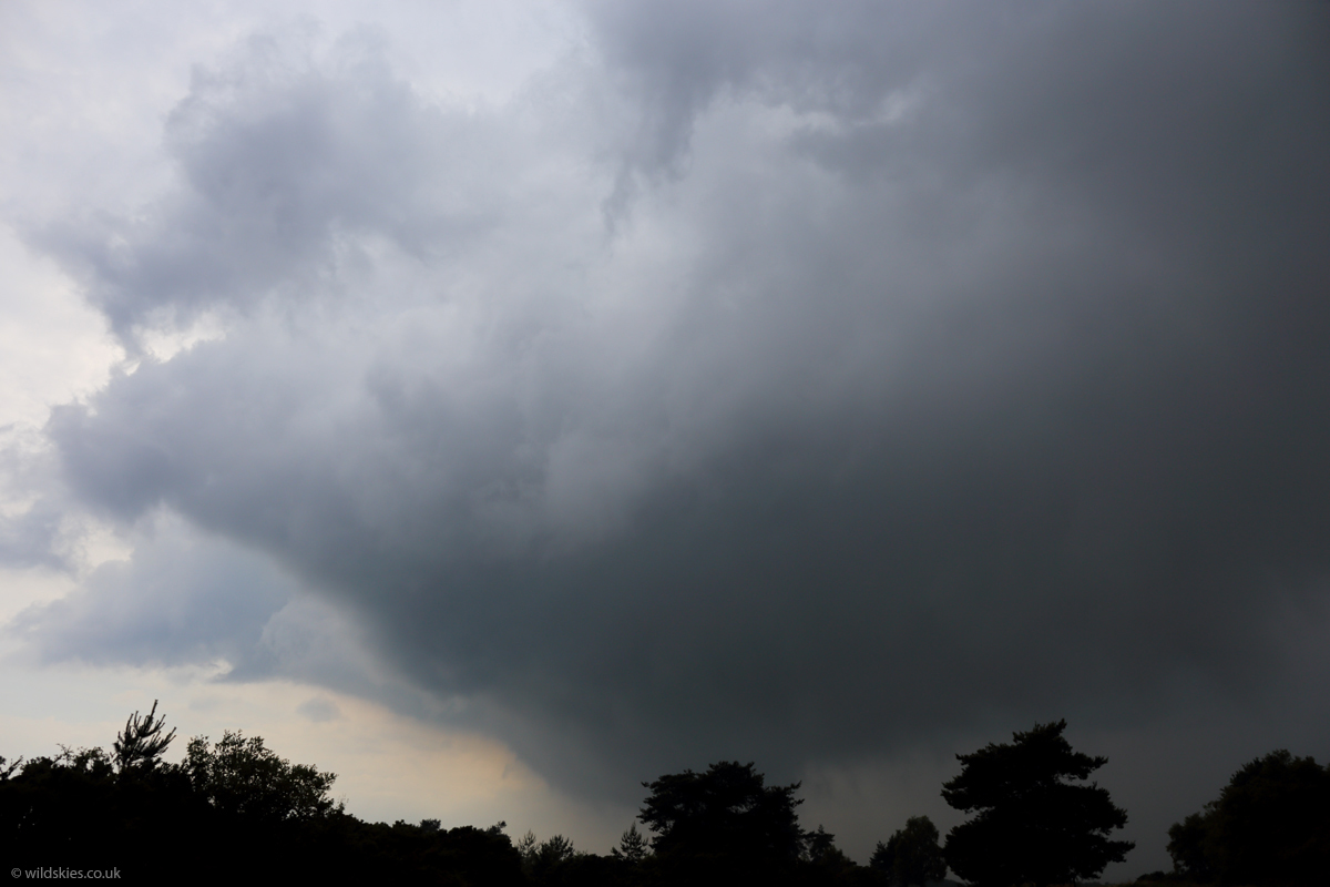
Then, around 3:30 p.m. I heard a rumble of thunder from a storm that was approaching from the East. It didn't look much, apart from a darker sky in that direction, but the wind had dropped to a dead calm and it felt very eerie. As it got closer I started to seethe base of the storm come in to view and I could see rapid upwards motion in to it from Verwood, Dorset. I decided to head out to a vantage point at Holt Heath to see if anything interesting was going on and on the way the storm took on a very impressive structure, with a distinct lowering appearing.
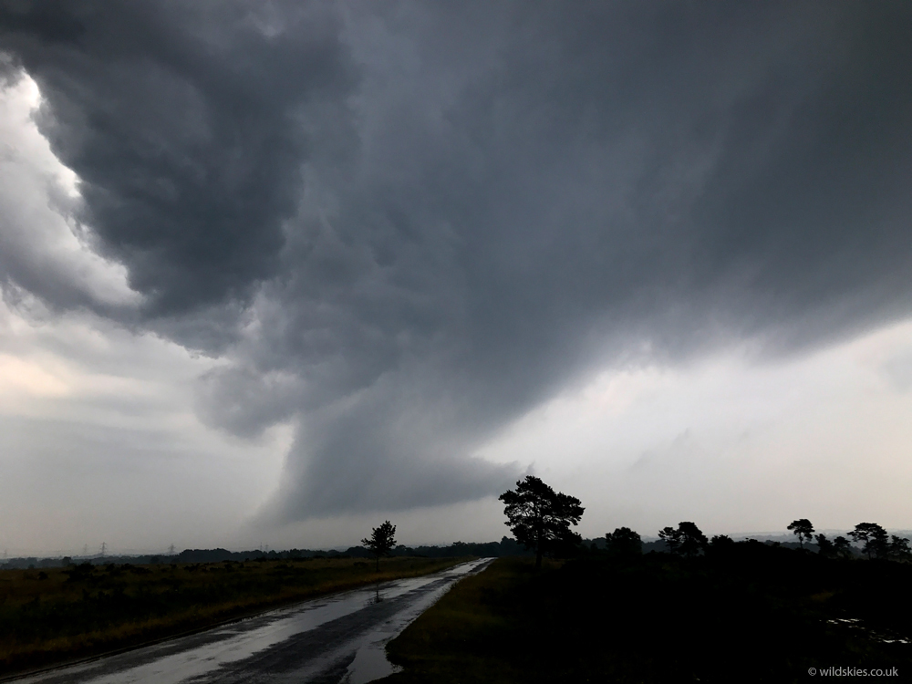
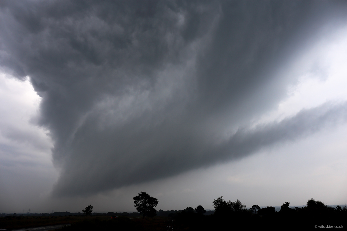
I arrived at Holt Heath, parked the car up, and when I got out I was greeted with this to my east (phone shot, so low quality):

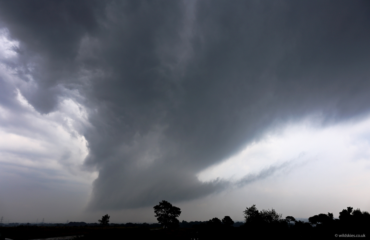
Rotation was very obvious and there was an inflow tail to the right (south):


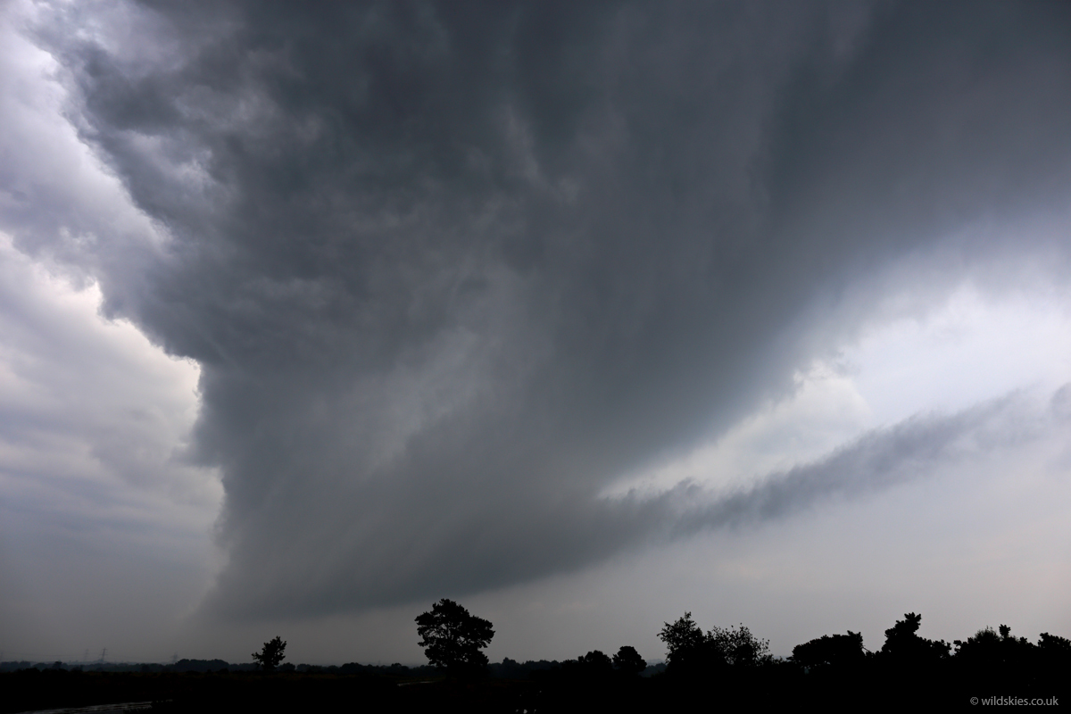
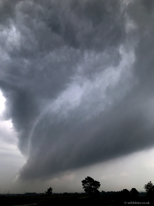
Another phone shot as it came overhead:

After another couple of minutes it was moving quickly away to my east, with the lowering still rotating away. I lost sight of it but tried to catch it in the car. It eventually died out near Blandford, Dorset and the wall cloud lifted. Radar showed the storm formed around the vicinity of Portsmouth, Hants, around 90 minutes earlier, so it was certainly lon-tracked for a UK storm. It appeared to be rotating for most of its track, certainly in the lower levels. Supercells require deep rotation, but these sort of storms can still produce tornadoes in the UK and there is a history of such storms forming on convergence lines near the south coast, eg the Selsey tornado in January 1998. I've never seen one travel east to west before though! A very intersting case study:
