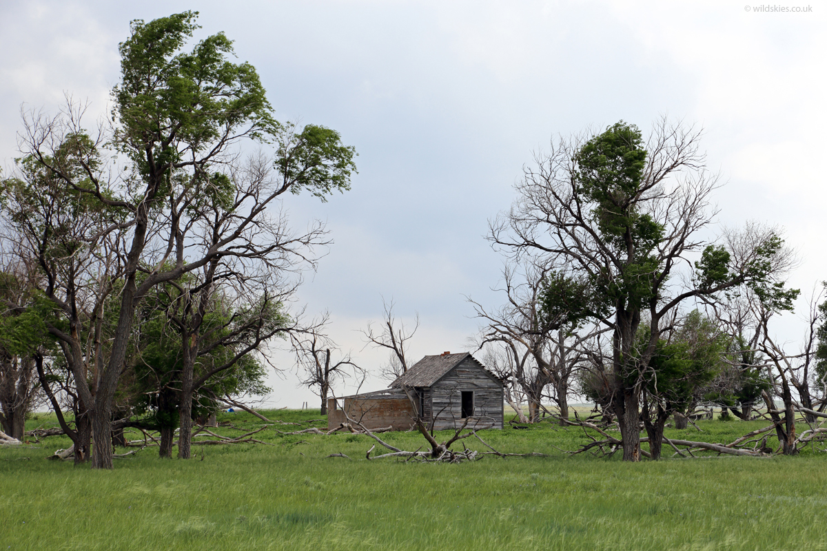
Day 19: Ogallala, NE to Colby, KS
Well, this was the day I finally saw a classic cone-shaped tornado for the first time after 29 days chasing (including 2016). The day was looking promising as models suggested supercells on a boundary in Colorado. The morning was deceptively dull and cool, even with some British-style drizzle and temperatures in the low 60s°F.
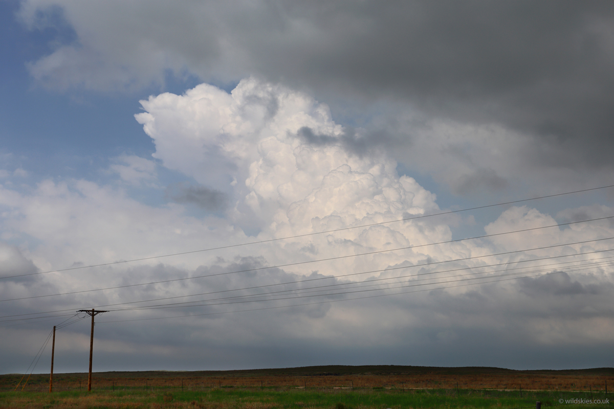
After a frustratingly long lunch in Fort Morgan (slow service) we rushed out towards Akron, CO. We stopped just north of the visible boundary, with drizzle overhead and sunshine/80°F temperatures just to the south. When we looked up there was amazingly clear wind shear, with clouds racing in different directions with height; a perfect 90° shear! A cell formed just to our East, but was north of the boundary so we didn't persue:
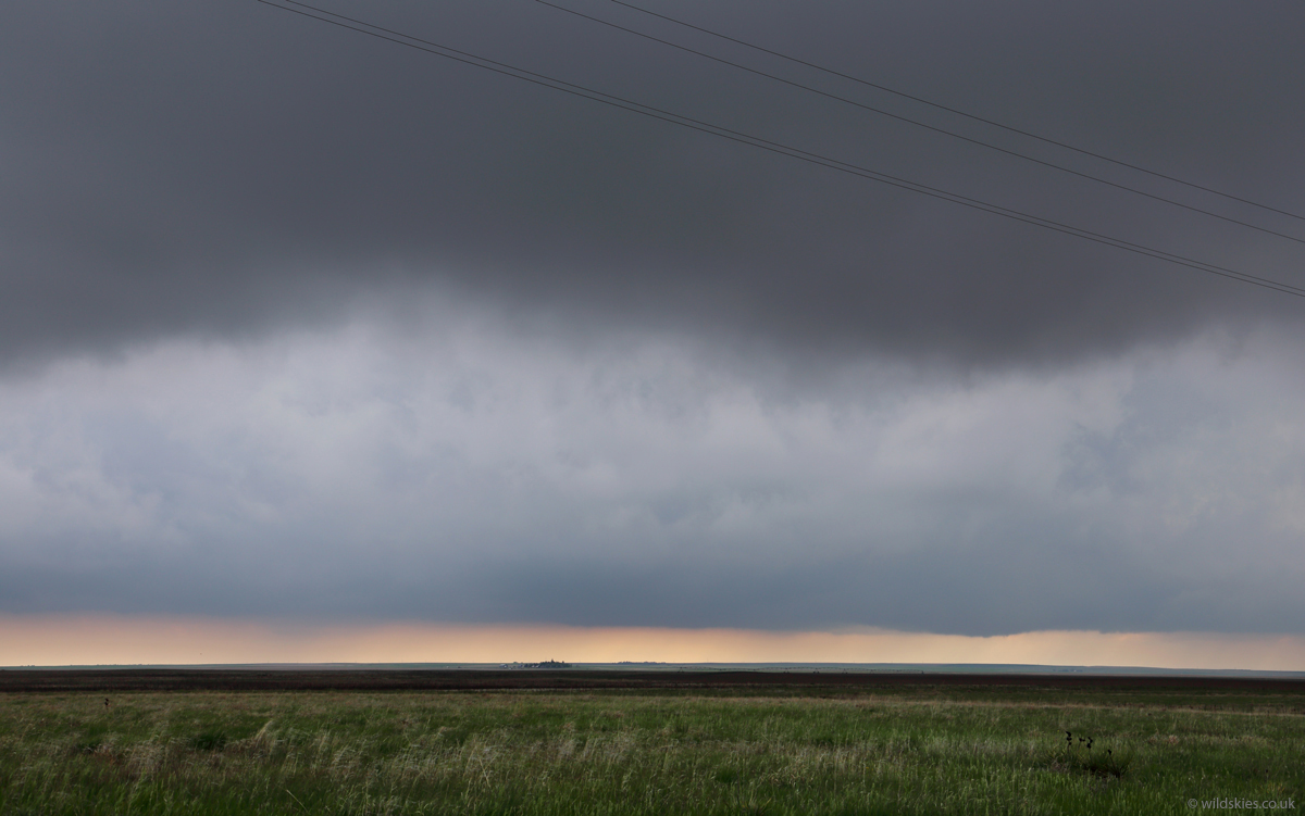
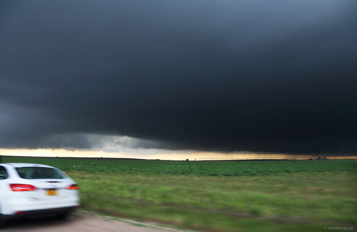
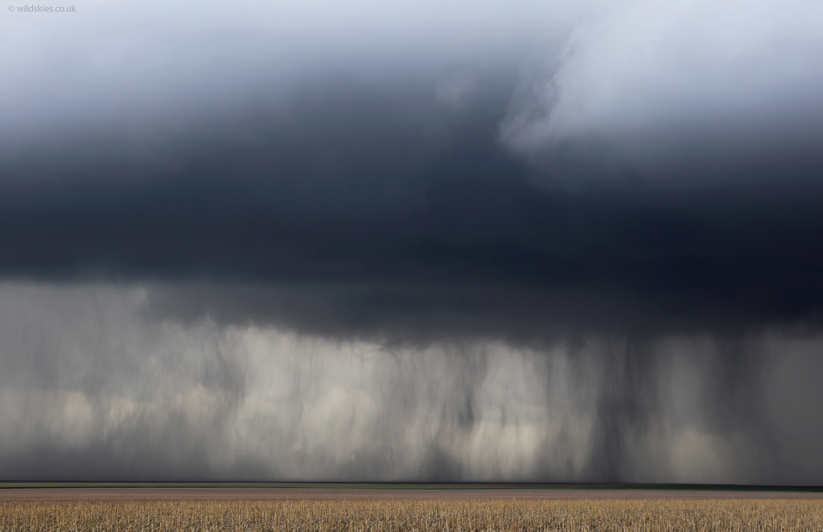
The boundary line, visible to the south:
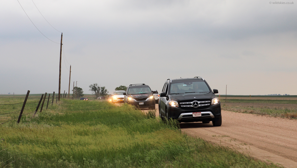
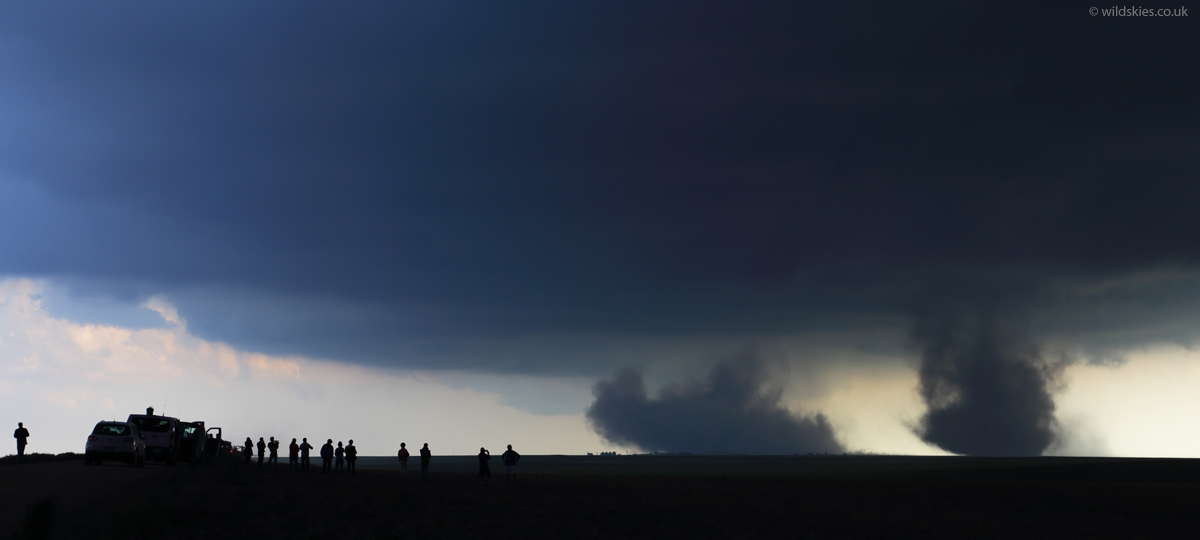
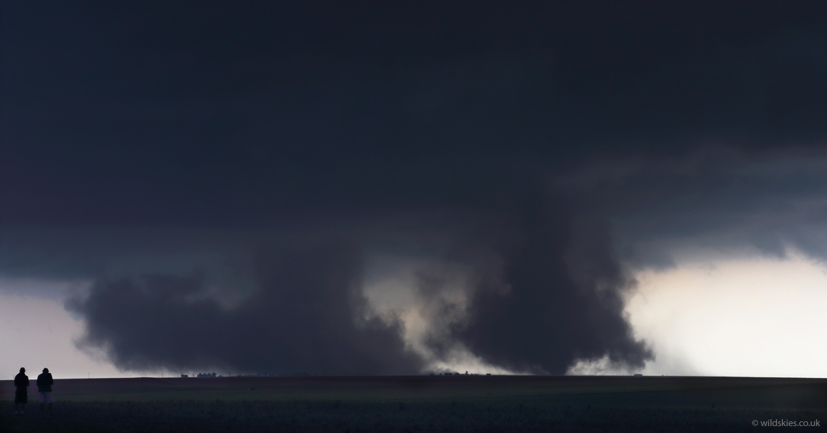
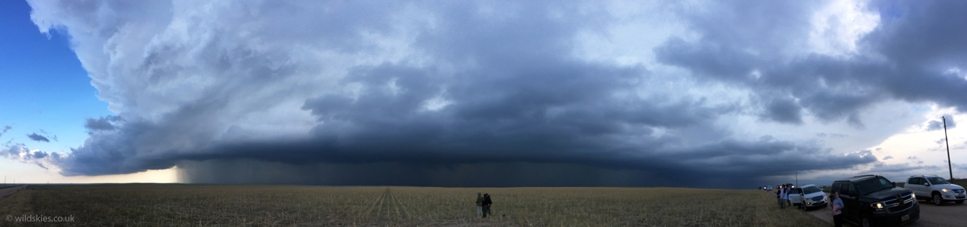
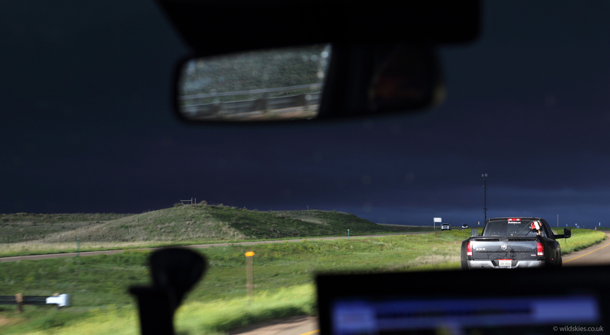
Hundreds of chasers from across the Midwest were in the area for this day, here parked up just as the first landspout tornadoes formed on the boundary:
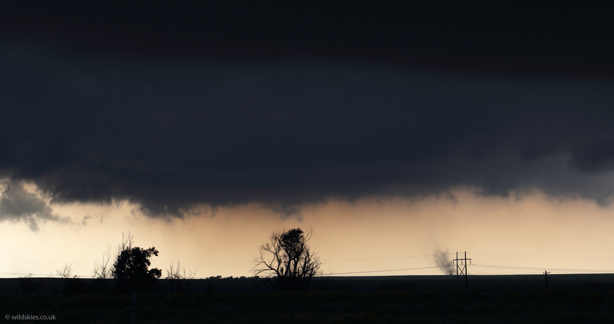
Numerous small landspout tornadoes began to form on the boundary, silhouetted against the bright skies to the south:
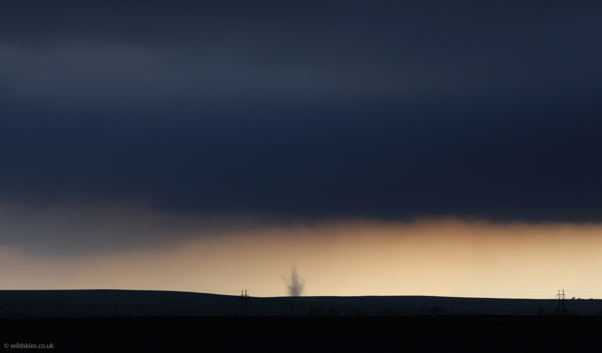
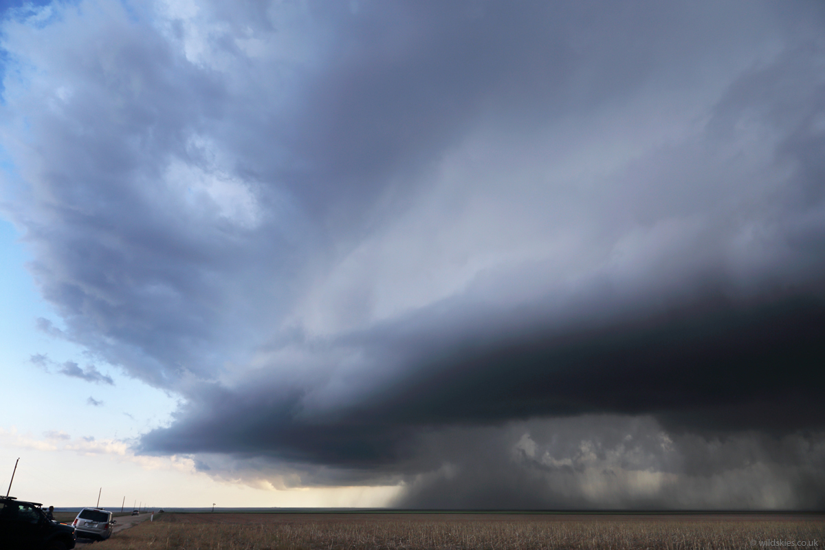
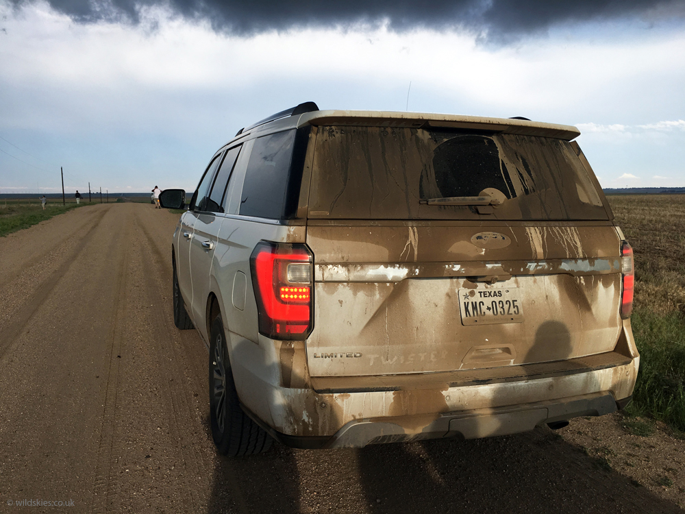
We drove further south to get closer as things were clearly getting organised. The light was very surreal and you could 'feel' something was afoot:
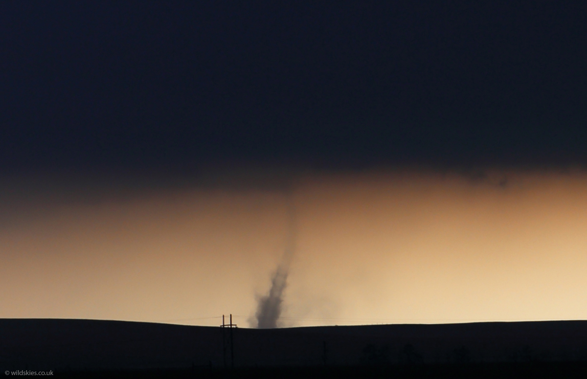
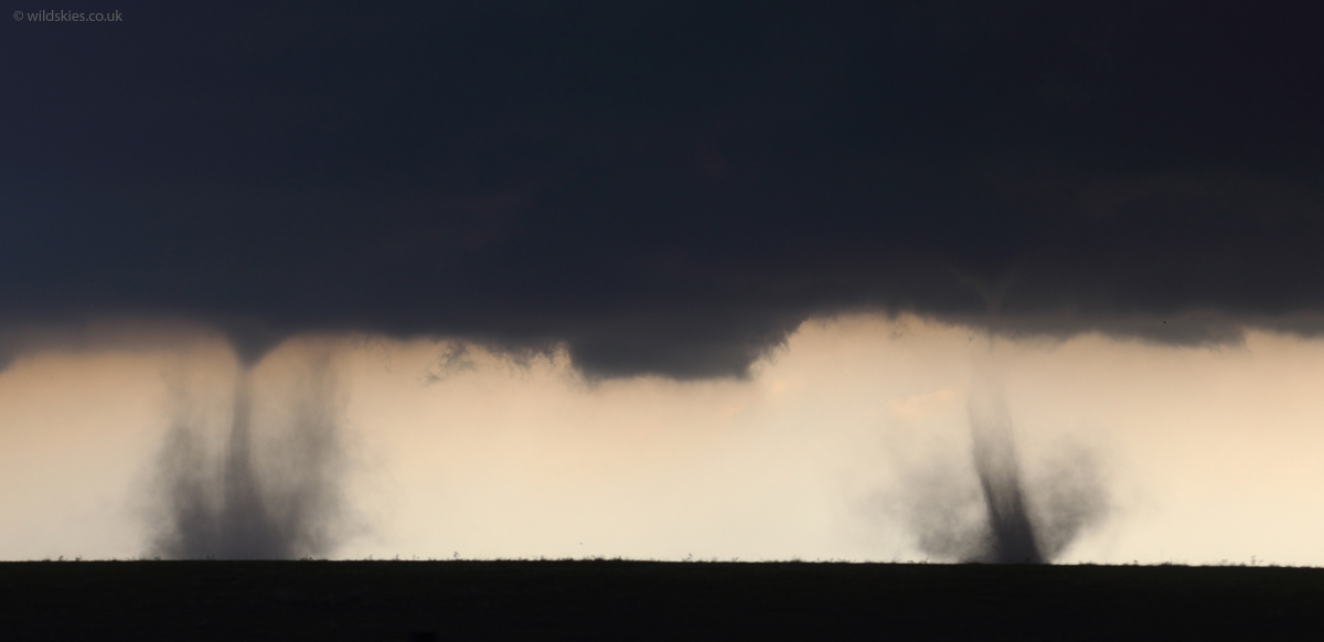
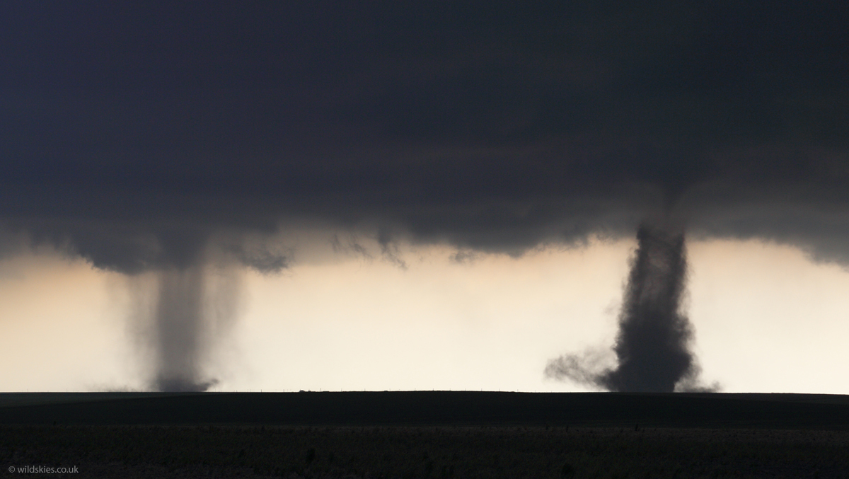
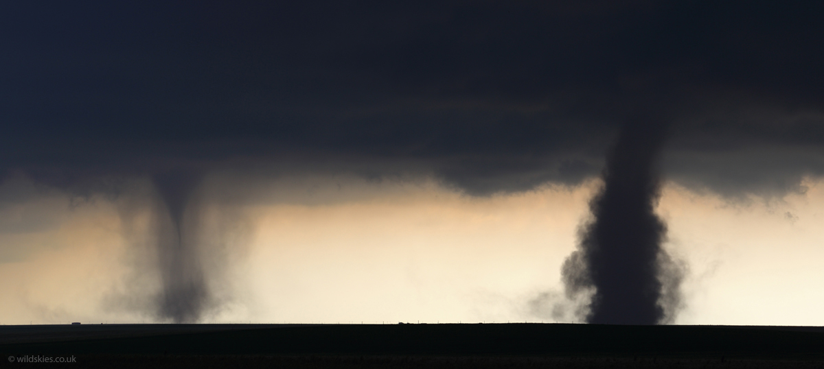
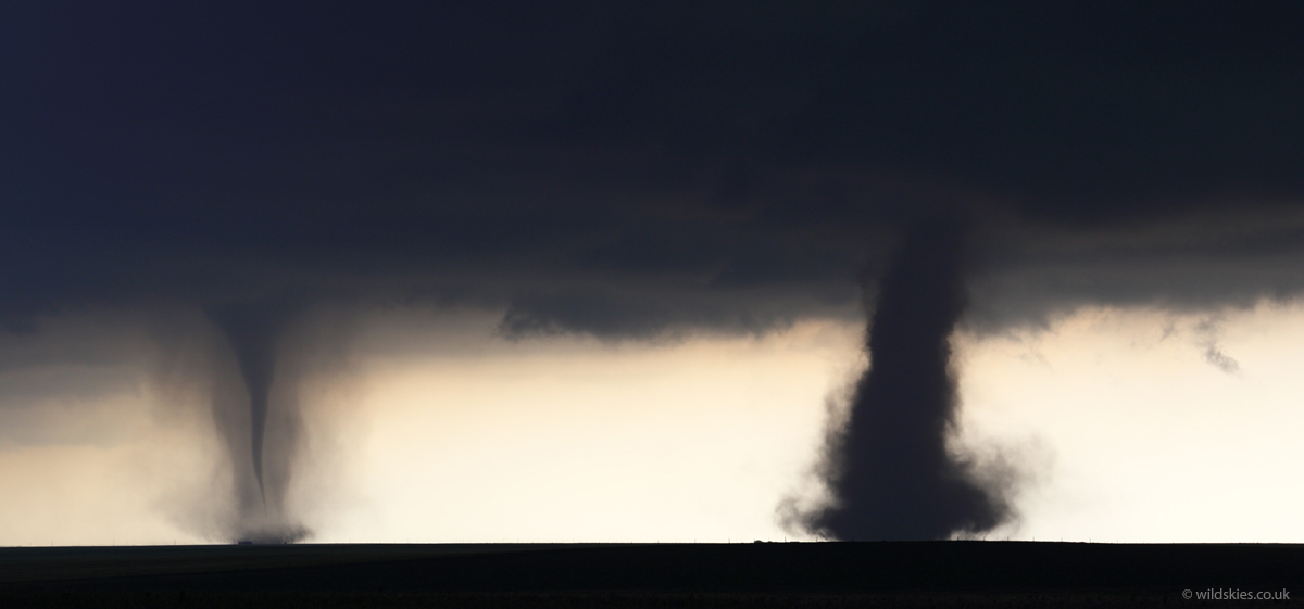
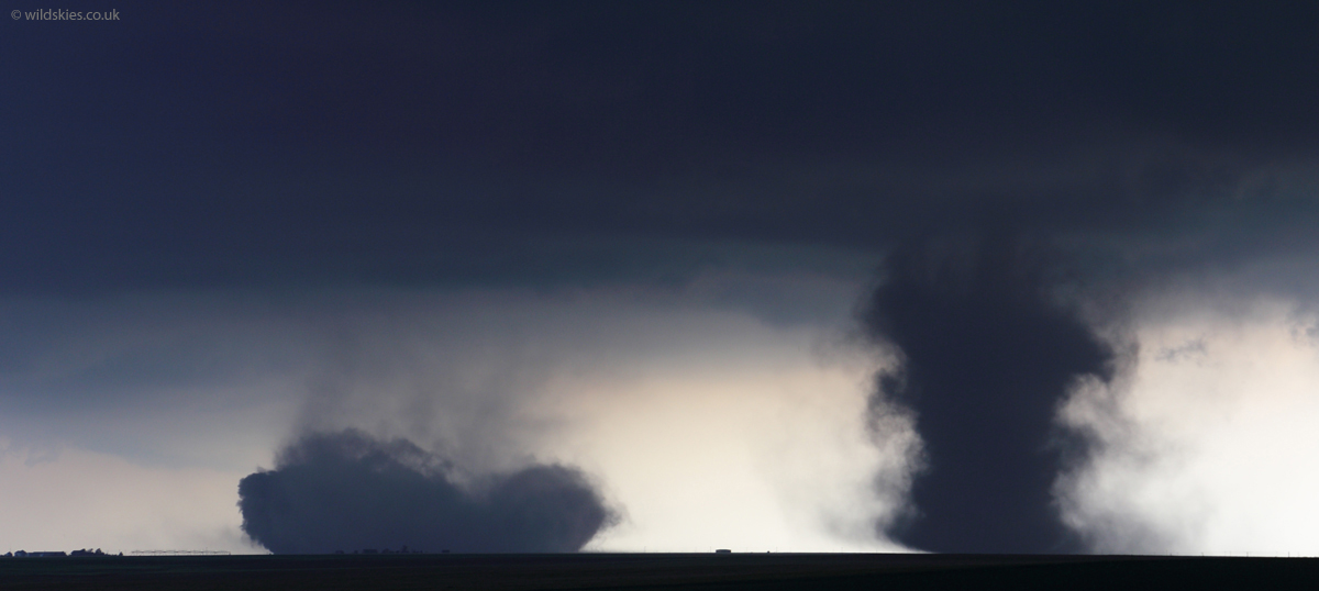
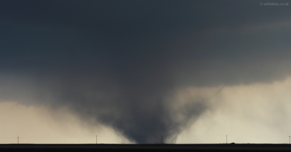
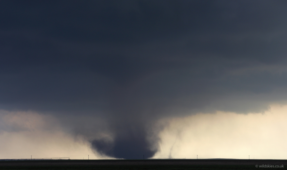
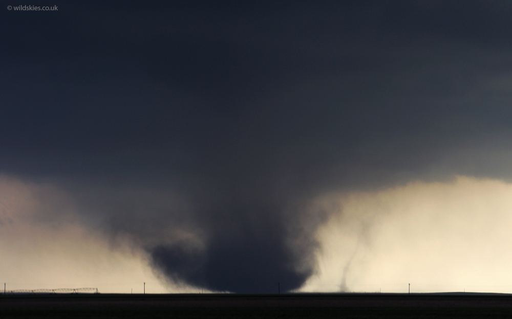
2 larger tornadoes then formed just a couple of miles ahead of us simultaneously, near Cope, CO - a very rare event! They lasted a few minutes before the eastern one collapsed spectacularly into a cloud of dust in a matter of seconds:
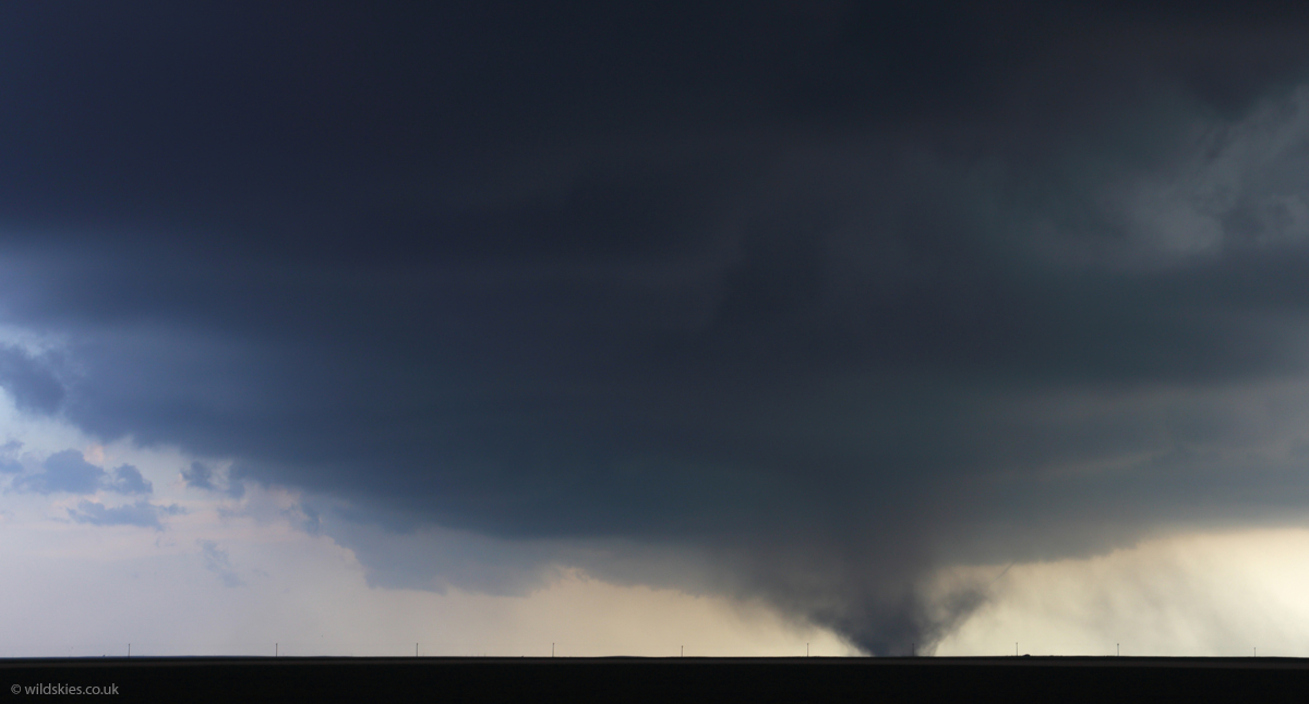
After they mostly faded we headed closer and noticed a stronger cell to the SE. This produced a much longer-lasting tornado; a sign that it could have been part of a mesocyclone rather than a landspout. It also had a few 'satellite' tornadoes rotating around the main funnel. On the way a small tornado formed almost overhead, touching down in a field just 50ft to our west and passing the road in front of us:
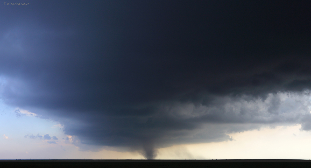
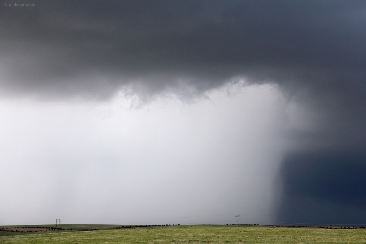
The tornado eventually died, but the storm contained a huge amount of rotation. Rain was forming into rapidly circulating bands, but unfortunately it just didn't produce another tornado:
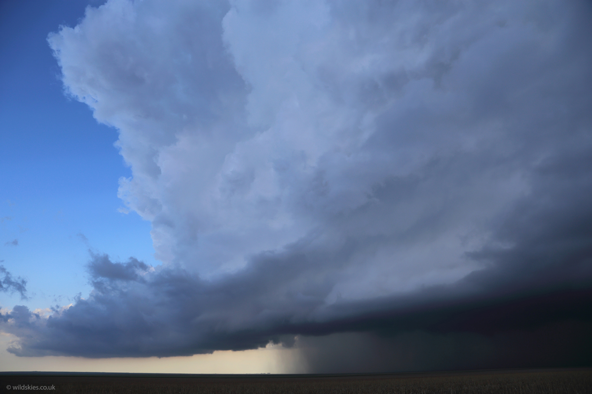
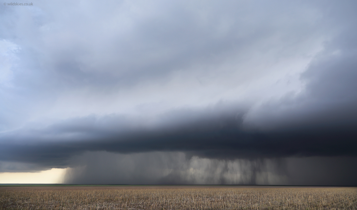
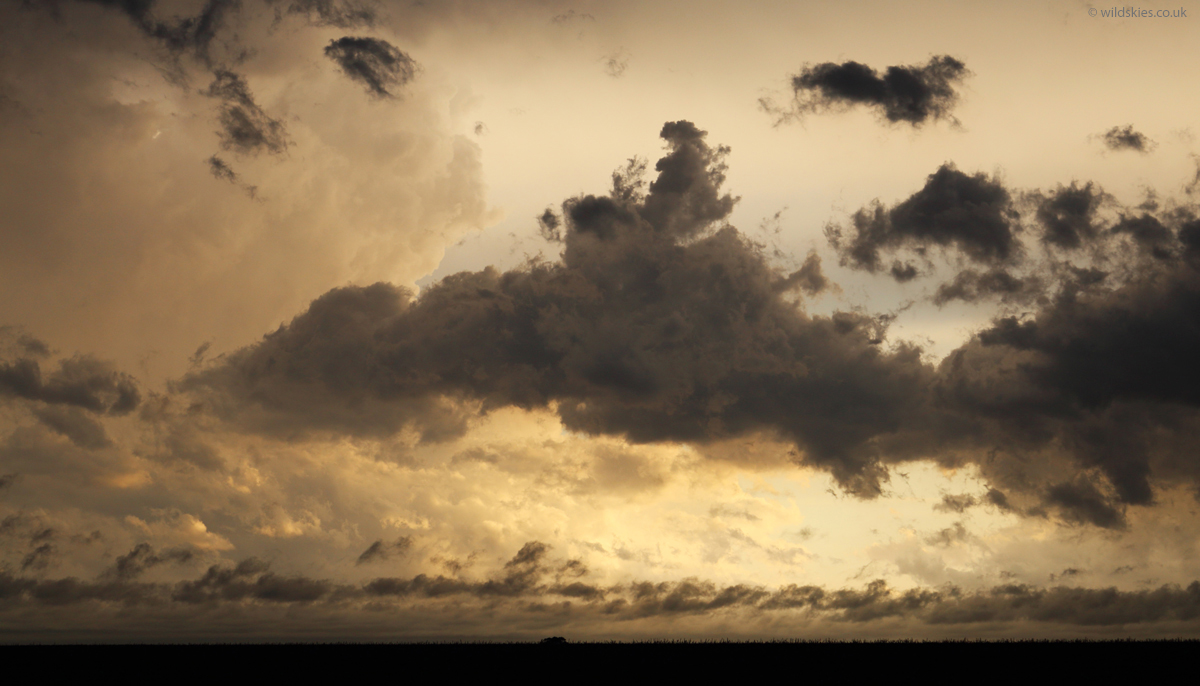
Most of the activity now died out as sunset approached but another storm had an impressive hail core and black skies:
We cleared the area of storms around sunset and stopped by the road to film the roaring low level jet that forms most evenings across the plains. It was drawing in the low-level cumulus left to right below at 50-60 mph:
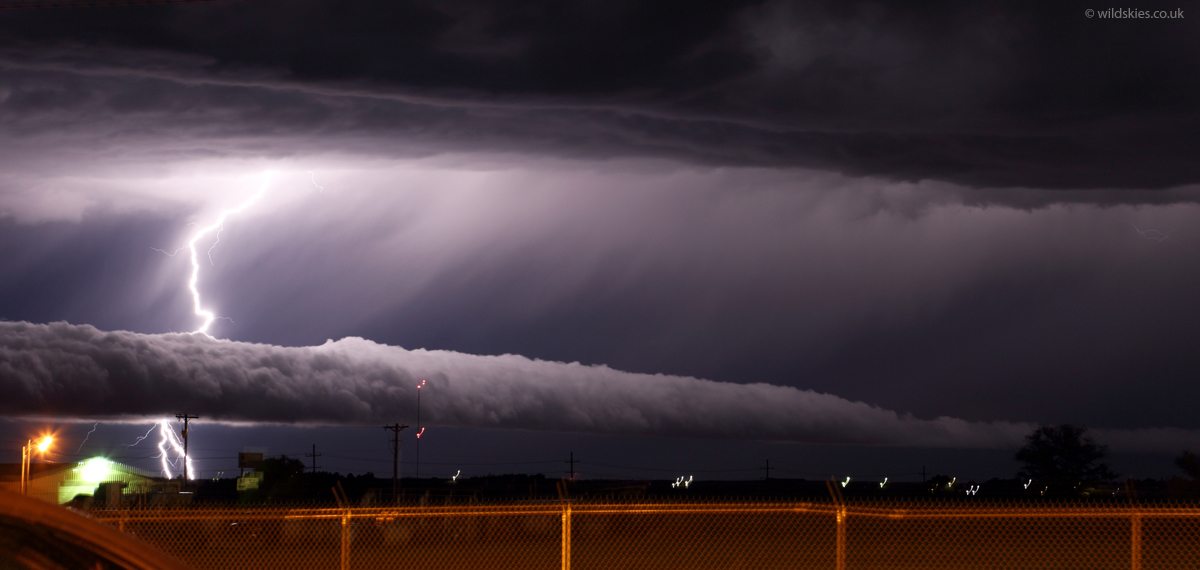
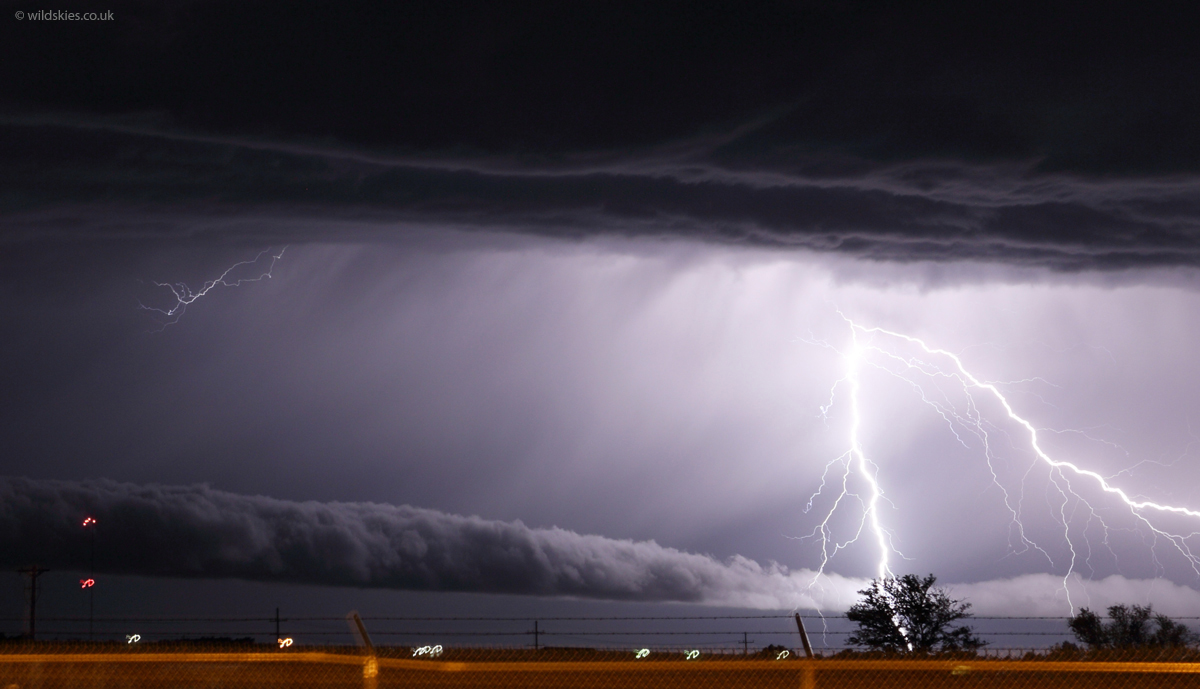
To round off the day nicely we had a storm with some very close lightning strikes move over our hotel in Colby, KS. The lightning illuminated an impressive gust front/roll cloud on one storm to our south: