July 3rd: Supercell Thunderstorm Over Bournemouth, Dorset
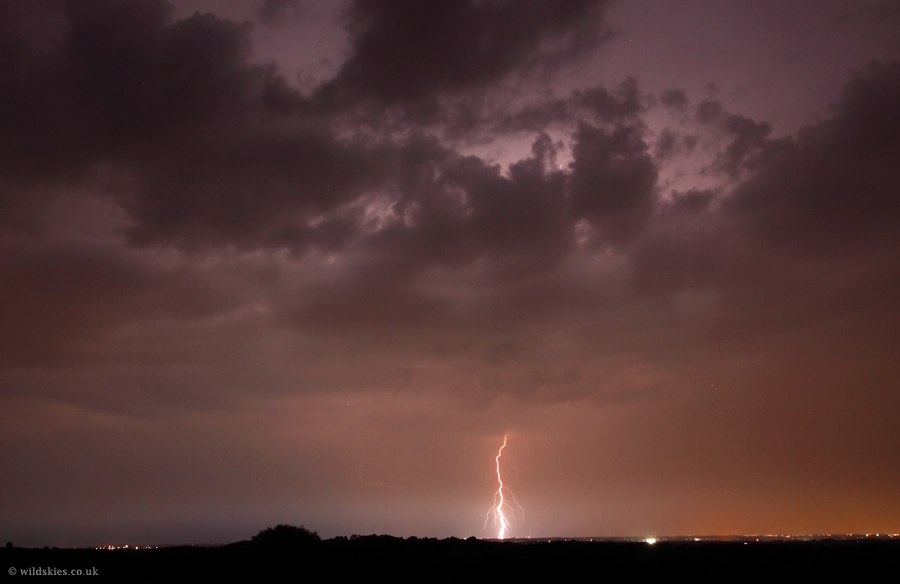
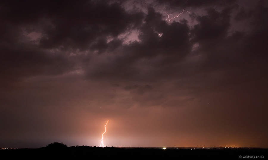
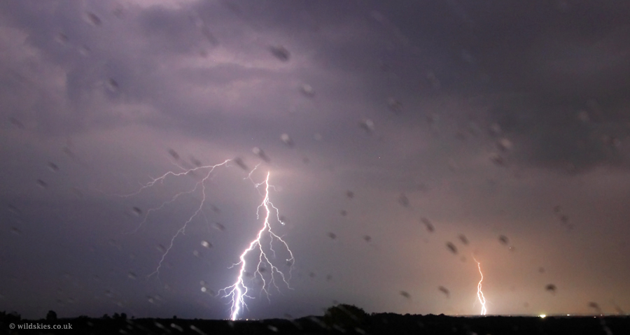
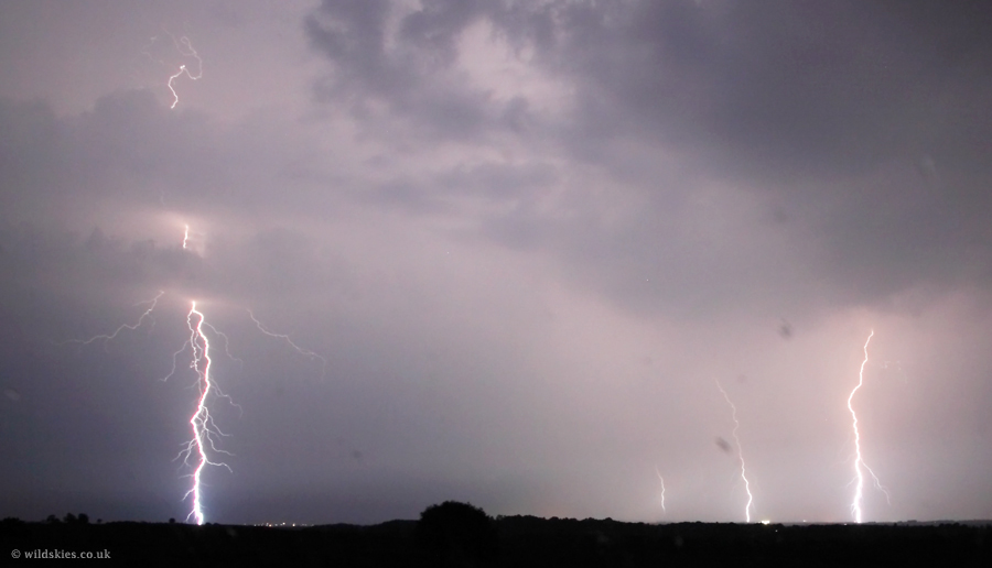
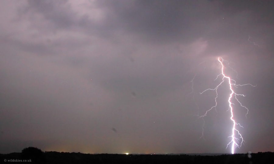
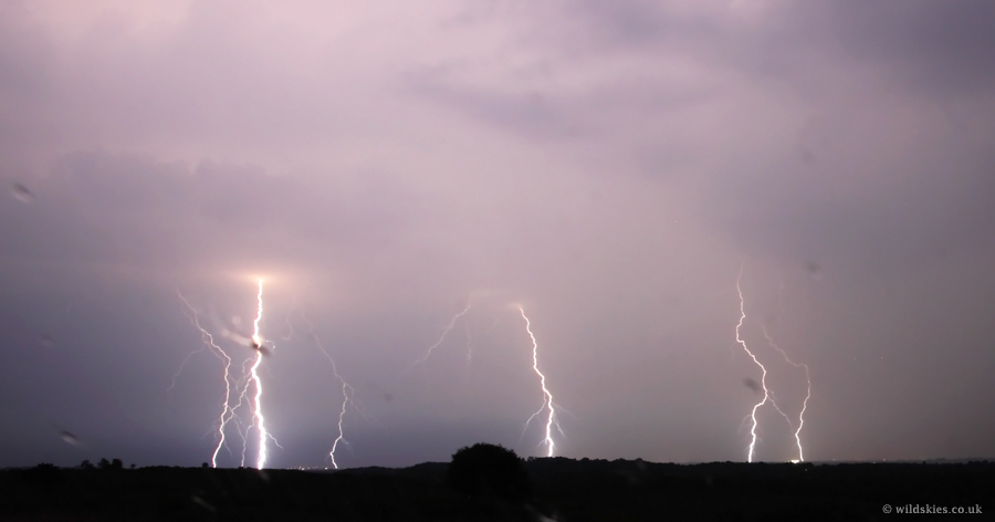
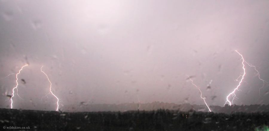
Well, an eventful evening! Probably one of the best lightning displays I've seen, certainly since the late 1990s. I initially headed for the Winchester area, expecting things to kick off a bit further east and inland. I sat in the car near Winnal for about an hour, watching the radar closely; at about 2200 the first cells started popping up off the Dorset coast and started to produce lightning so I took a gamble and headed back to the New Forest to try my luck at getting some lightning shots. I arrived at Picket Post near Ringwood at about 2315 with sporadic flashes over to the SW, out at sea from Bournemouth, but things rapidly intensified - it was as if someone pressed a switch at around 2330 with lightning flash rates increasing from once every 20 seconds or so to every second within the space of a minute. As it turned out, I probably had one of the best vantage points, just to the east of the main developments as they moved south to north. Around midnight though one cell developed even more strongly and pushed away from the main cluster headed straight towards me. What looked like a wall cloud rapidly formed just to my SW over the Forest and was approaching alarmingly quickly. The lightning was so frequent I could see the movement of cloud up into the storm base, which must have been just a few hundred feet above the ground! Interestingly most lightning was well ahead of it, so for a time the lightning was mostly behind me while the cloud base was ahead. Having discussed the storm with members of UKWW forums and seen reports of large hail (up to golfball size), indications were that this seperate cell was a supercell and exhibited many of the features of one. First up are the shots of the storm as it approached from the SSW:
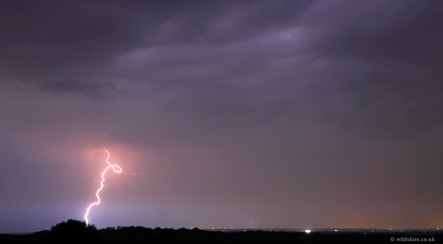
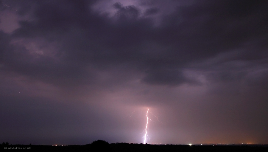
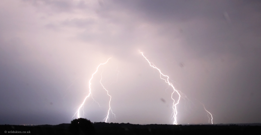
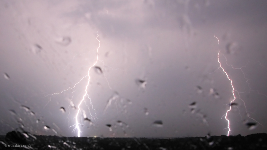
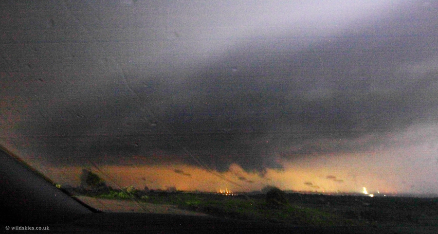
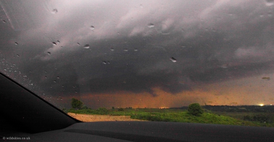
These next two shots show the approaching base of the storm with a wall cloud lowering. The wind was flowing strongly from behind me, into the storm, at this point:
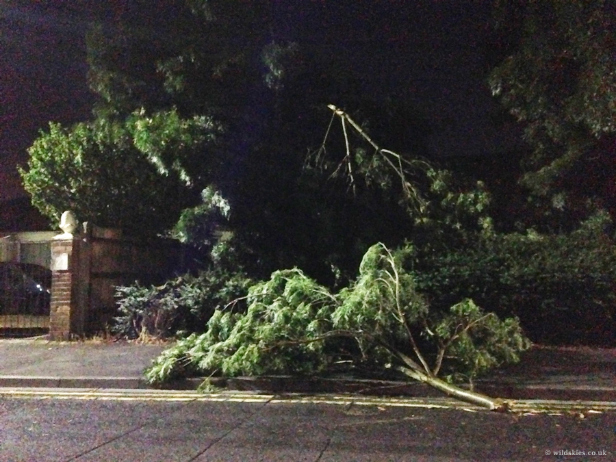
Some of the tree damage from strong winds in Bournemouth about 2 hours later:
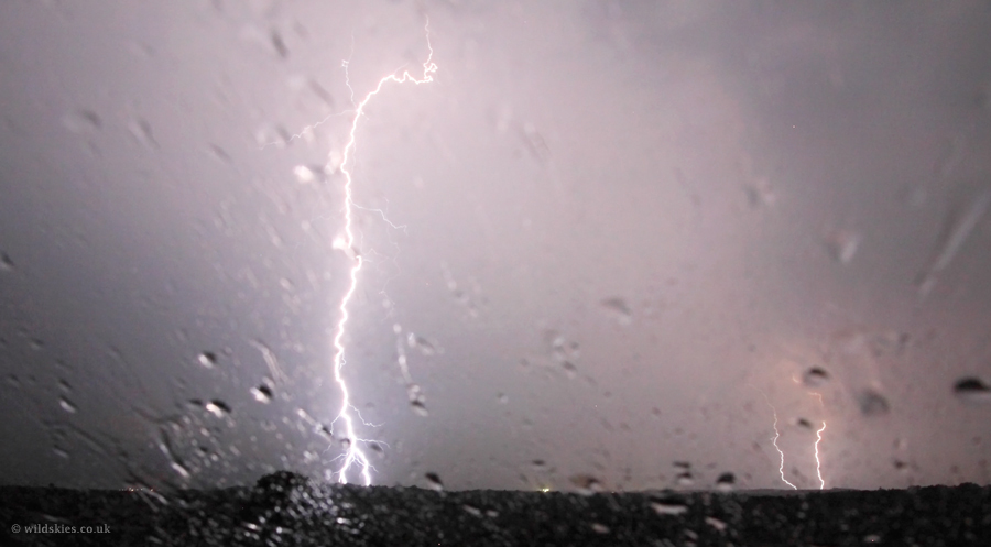
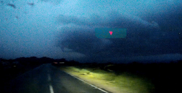
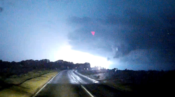
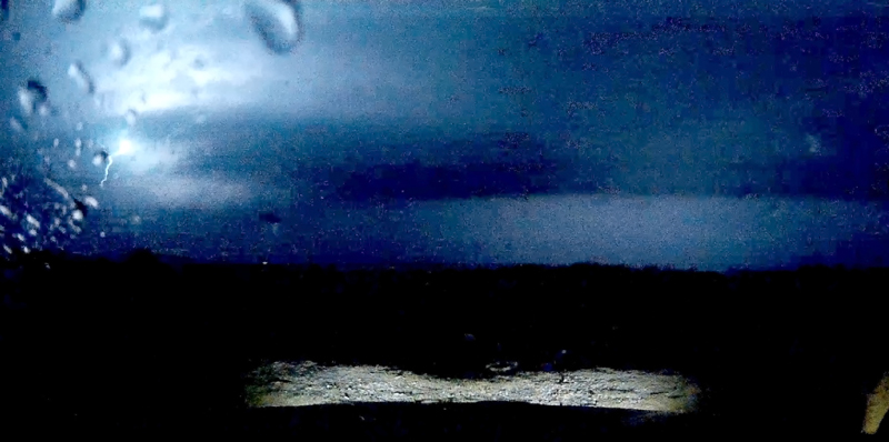
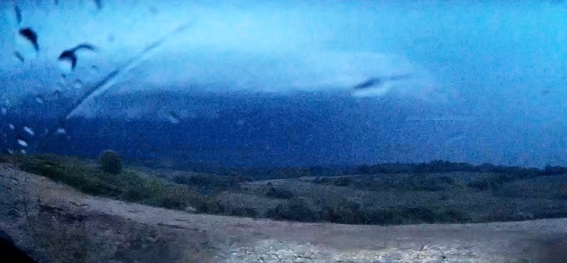
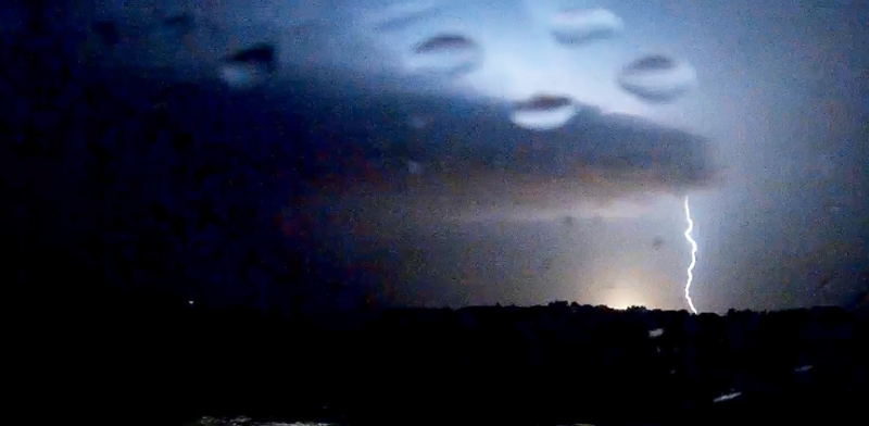
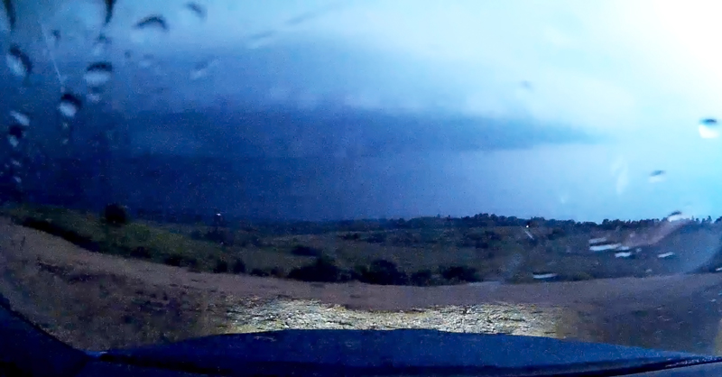
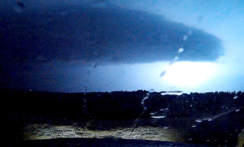
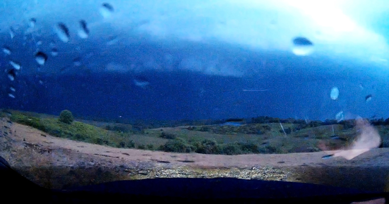
The next images are all stills from my dashcam video in the car. Although not good quality they show some of the storm structure as it passed nearby (too wet to get SLR out):
Finally, some of the footage from my dashcam, unedited and in 3 minute segments. They show how frequent the lightning was! Also note the people standing outside their cars with CGs hitting all around!