April 11th: Thunderstorms, South Hampshire
This week probably brought the most photogenic spring skies down here since at least April 2008 with several consecutive days of strong convection and thunder. Typically, most occurred during the week when I was at work, but I managed a quick shot at lunchtime on the 11th, just after a thunderstorm had passed to the south. The sky was filling with new storms at 1300 BST:
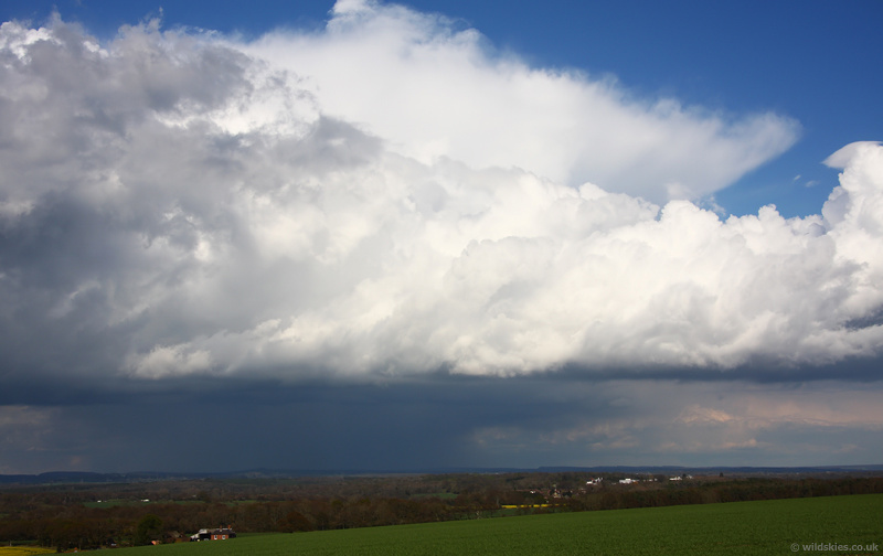
After work I headed to Portsdown Hill, north of Portsmouth, for a better view. This cell was moving across the South Downs as I arrived:
This cell was interesting. It was sitting further south than any other at the time and was on a convergence zone as the low cloud was feeding in from the south in the right of the picture and from the north. You can see the cloud tops leaning towards each other. I wish I'd got there earlier though as it was around for a while:
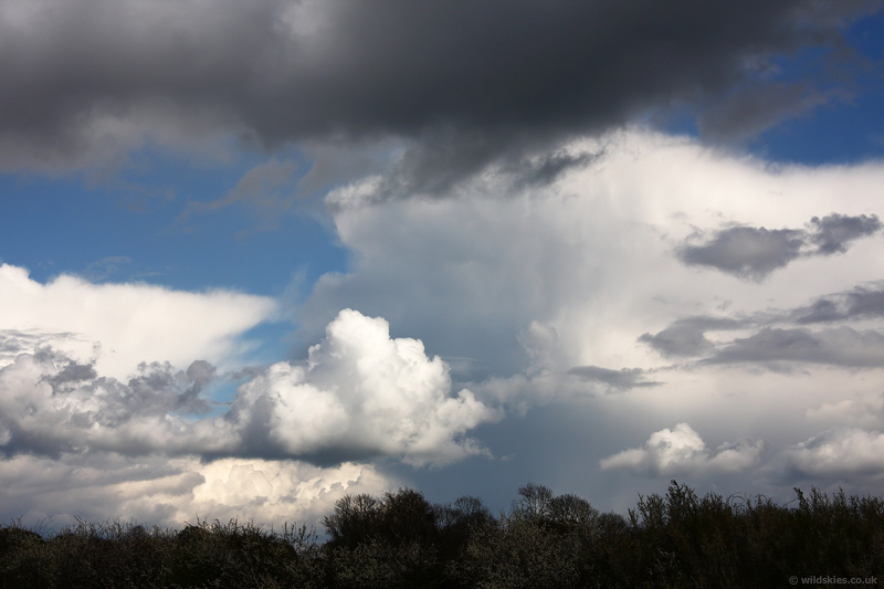
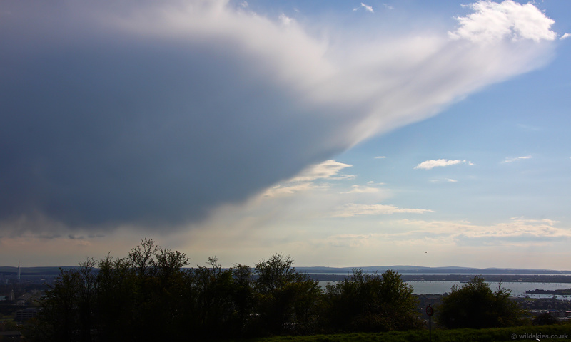
An orphan anvil from a decaying shower over the Solent:
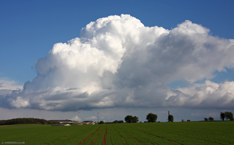
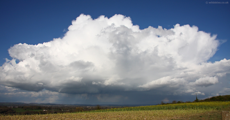
A further cell to the north developed into a multicell, with new cells popping up to the west side as it moved across. I think there was a small funnel cloud for a time too - here on the left of the image:
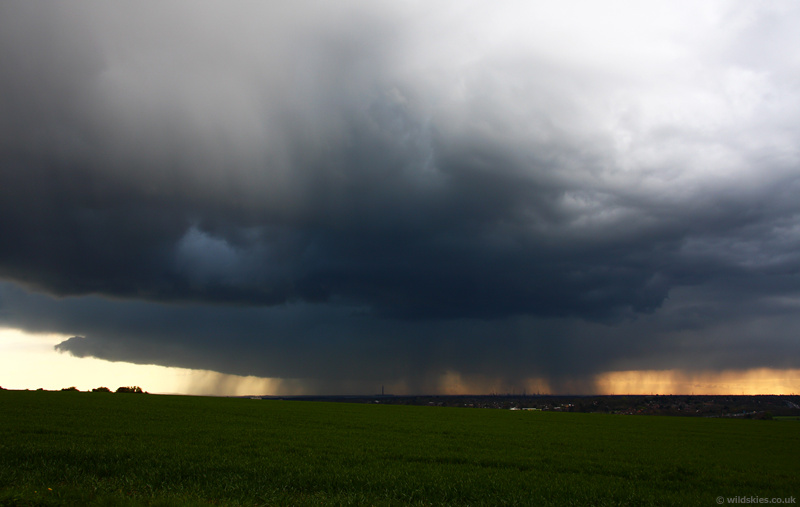
I could see some very nice cells to the NW, heading towards me, later on in the afernoon. The light was fantastic and it stayed sunny at my spot right up until it started to rain. The sky was almost pitch black to the NW as it arrived:
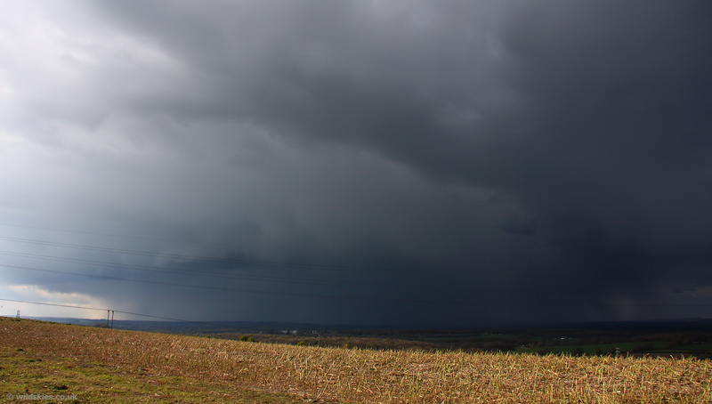
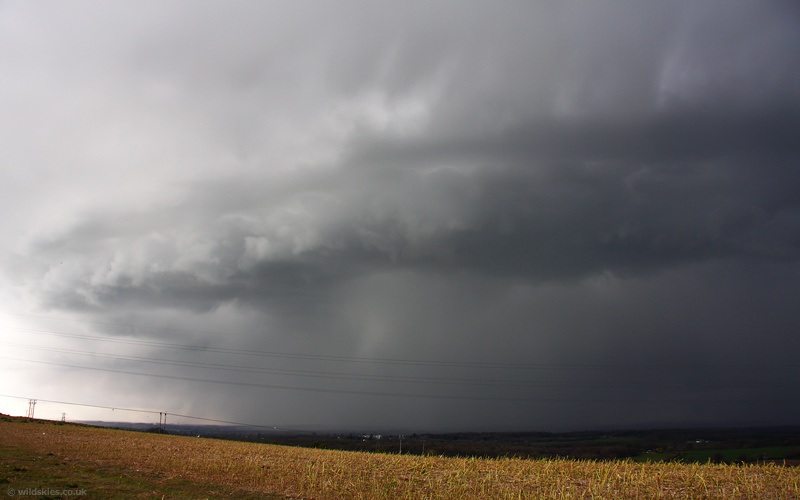
It then developed a nice shelf cloud as it arrived:
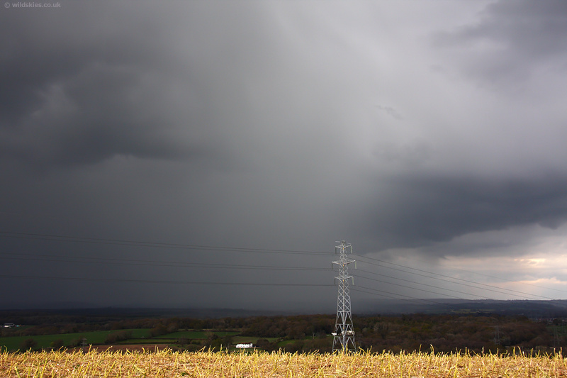
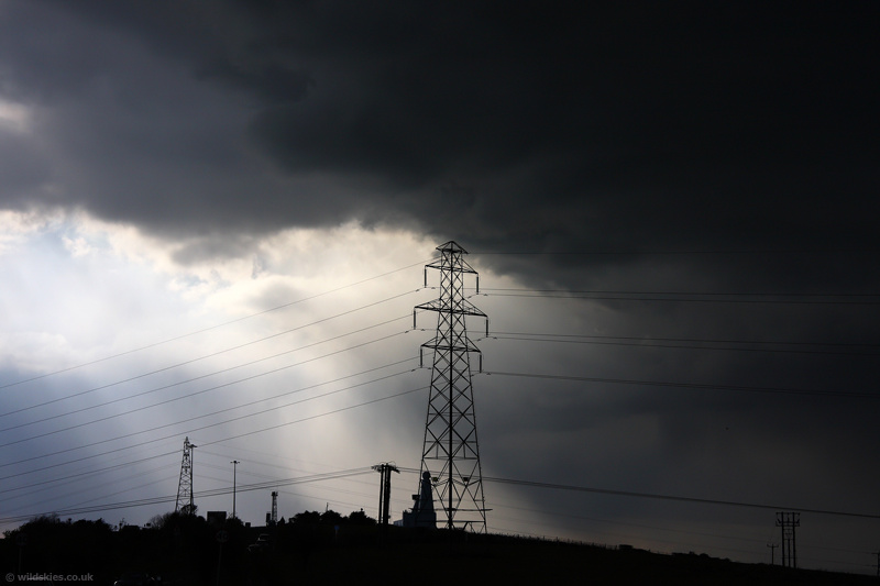
The contrasting clear skies to the south lead to some dramatic scenes as spots of rain started to fall:
Finally, a nice thundery cell over the Southampton Water area. If you look closely you can see Fawley power station and refinery under the rain: