April 27th: Evening Hail Shower and Convection, Mudeford
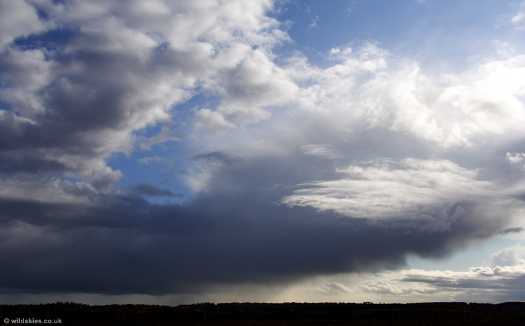
Some showers were forecast on this day, so I decided to take the camera along with me on the commute, just in case. On the way home that evening, I noticed a line of heavy showers to the west, moving towards this area, so I stopped at a vantage point in the New Forest to watch. A small funnel cloud (first I've seen this year) formed beneath one of the new cells about 10 miles away, but I was shooting into the sun and it was very hazy, so the resulting images are not very good. I might add them to this page later. This first shot is of a weaker shower moving to my south at the time:
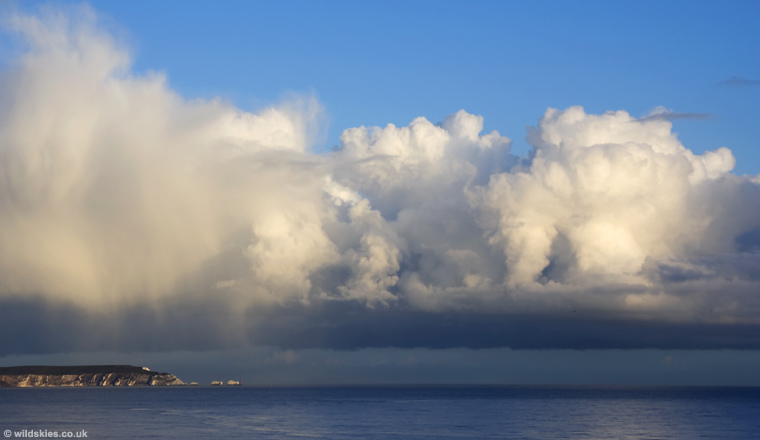
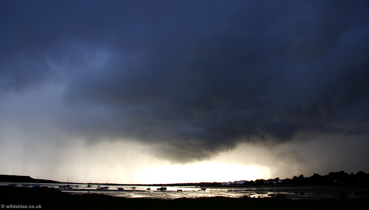
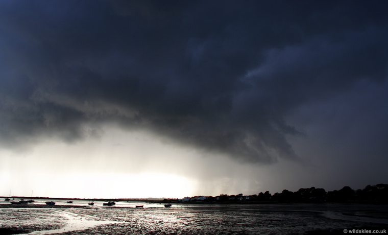
I could see that the band approaching from the west was following a similar track, so decided to head for the coast to get a better view. I was quite lucky with this one because I drove right through the heavy hail and got ahead of it, just in time to watch it sweep in across Christchurch Harbour. This is the view as I arrived, with a very cold wind rusghing from the gust front (it was just 5-6°C):
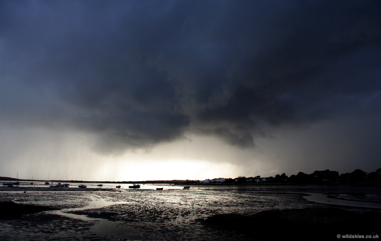
It started to look quite menacing, but its appearance was due to the lowering sun behind, making the clouds turn black:
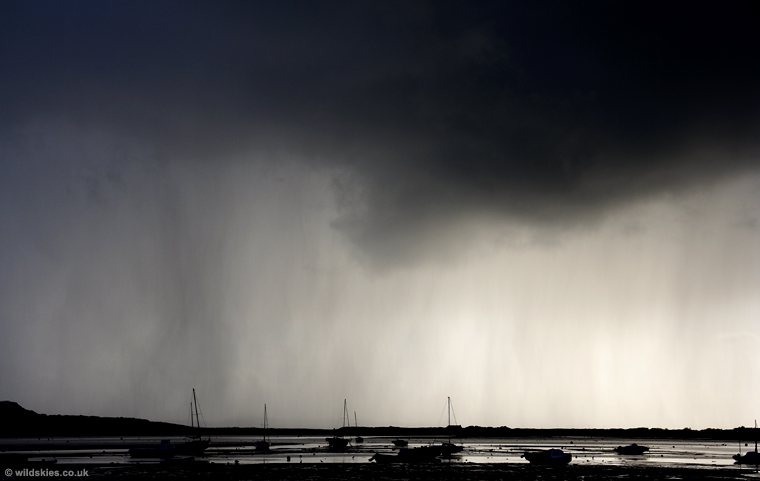
Heavy hail curtains were visible to the south as it got closer:
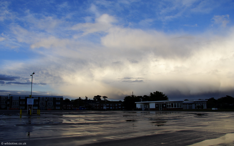
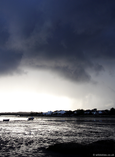
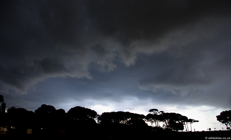
It developed a small gust front as it came overhead:
This view is looking out from the gust front as rain started to fall and I rushed back to the car. The rain wasn't very heavy though:
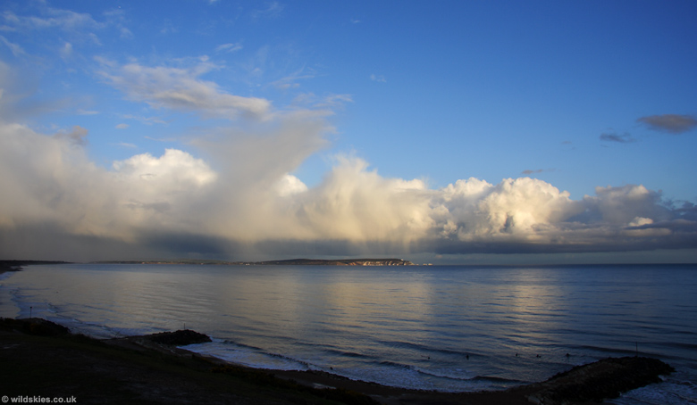
My last stop was just along the coast at Highcliffe. Here I had a good view of the departing line of showers as the sun set to the west: