May 29th: Heavy Downpour nr Burley, New Forest
After a mostly uneventful and overcast day, a line of heavy showers formed a few miles from the coast around mid-afternoon. On arrival
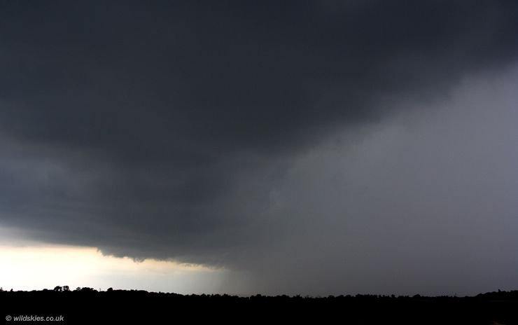
a nice gust front was visible approaching from the NE:
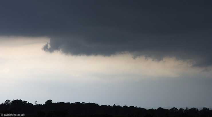
A close-up of the gust front:
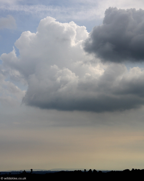
To the west, new showers were forming due to surface heating under clearer skies:
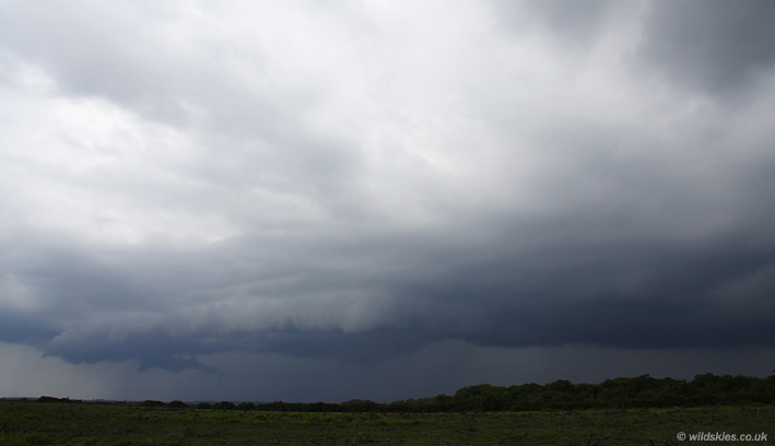
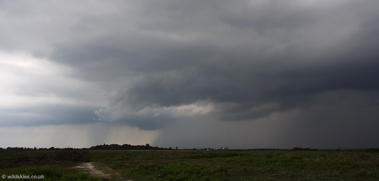
Outflow from the heavy rain was increasing with an impressive structure approaching from the NE:
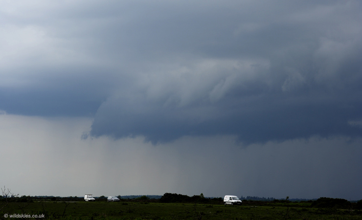
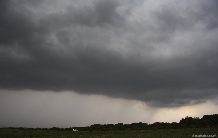
This was the view on the SE edge of the storm. I didn't hear any thunder or lightning from this event, I think the cloudtops were too low:
There was a large light contrast to the NW as the gust front passed into clearer air:
Finally a wideangle shot of the heavy rain core passing to my north. Light rain had started by this stage so I decided to call it a day: