April 28th: Sunset Anvils and Overshooting Top, viewed from New Forest
There had been a few light showers in this area through the afternoon, but it wasn't until the early evening that convection really got going.
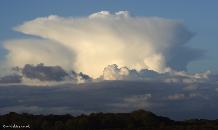
Low-level cloud decayed at the surface heating subsided, but this allowed great views of the isolated cumulonimbus in the light of the setting sun. The first shot is the view of a thunderstorm over SE England (in the vicinity of Reading, heading towards London):
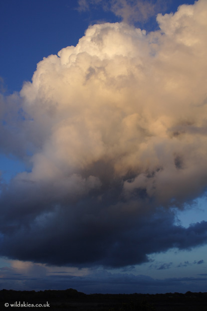
A closer view of the updraught:
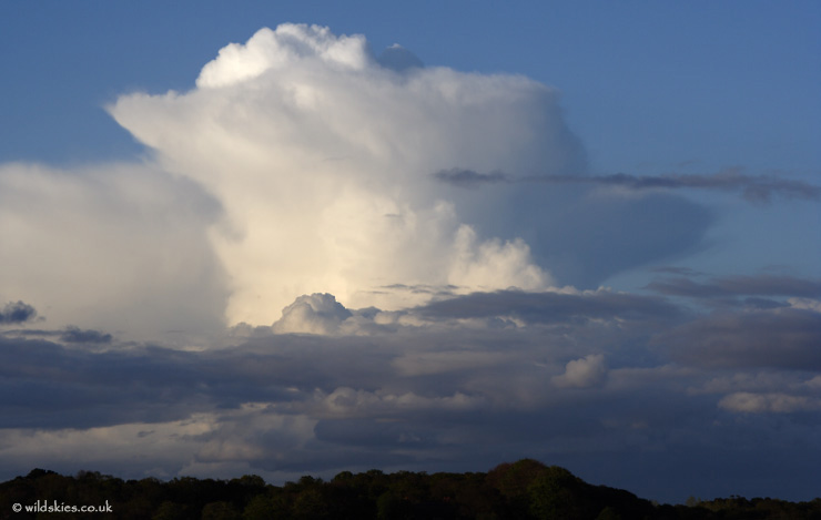
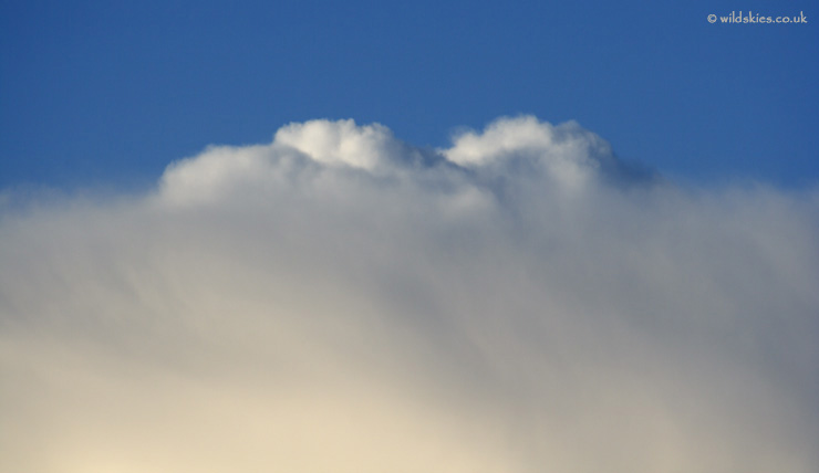
As it continued to grow, a dome of convection pushed through into the stratosphere, above the main anvil. This is referred to as an 'overshooting top' and indicates particularly strong development:
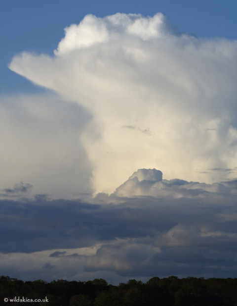
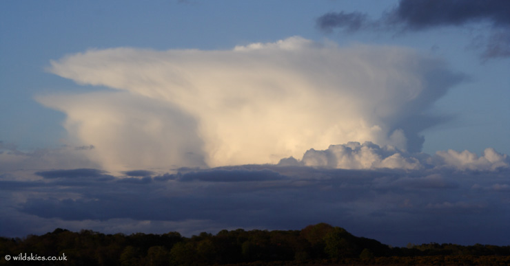
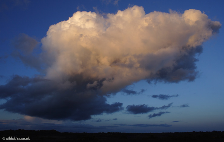
I got the telephoto lens out to get a closer view:
This is the last shot of the storm, still growing, as my view became obscured by a developing cloud above me:
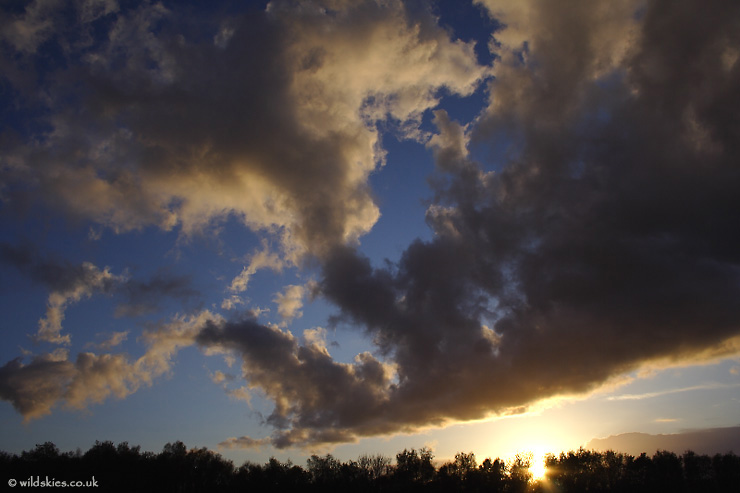
Here's a wide angle view. The storm above can be seen to the right, and another storm developing far off to the left, in the distance:
The setting sun and clear air gave some crisp colours to the sky to the west:
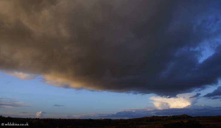
Meanwhile, the cloud overhead was developing fast, tinged orange by the sunset:
It showed evidence of wind shear with height as it began to 'lean' over:
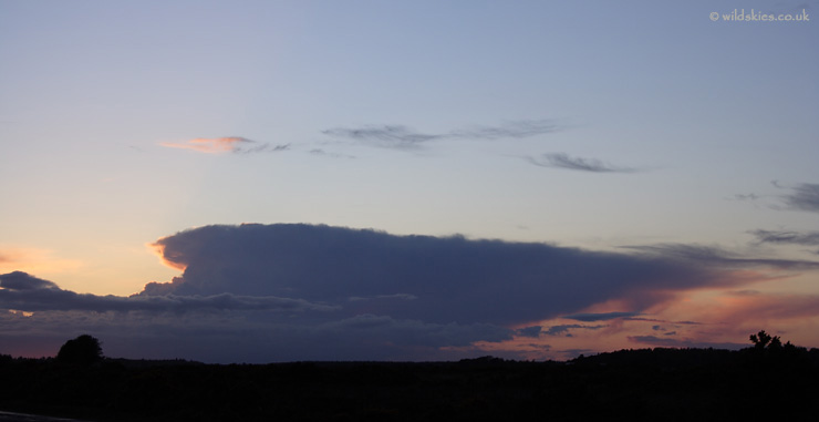
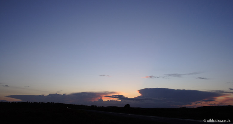
The final two images show some distant storms on the western horizon, just after sunset: