April 20th: Violent Thunderstorm with Flash Flooding, New Forest
This day was quite unusual. For most of it, dry and sunny weather dominated with temperatures heading up to 17-18°C near the south coast.
A limited amount of instability was available for the afternoon as high dewpoints were being advected from France during the afternoon, giving the risk of the odd heavy shower or thunderstorm where any convergence gave the neccessary lift.
As temps reached a little higher than expected (over 18°C in parts), a slight sea breeze kicked in, pushing up against the Easterly general flow. This was enough to really get developments moving and within the space of 20-30 minutes, full-grown cbs were maturing in central southern England (approx 1645 BST).
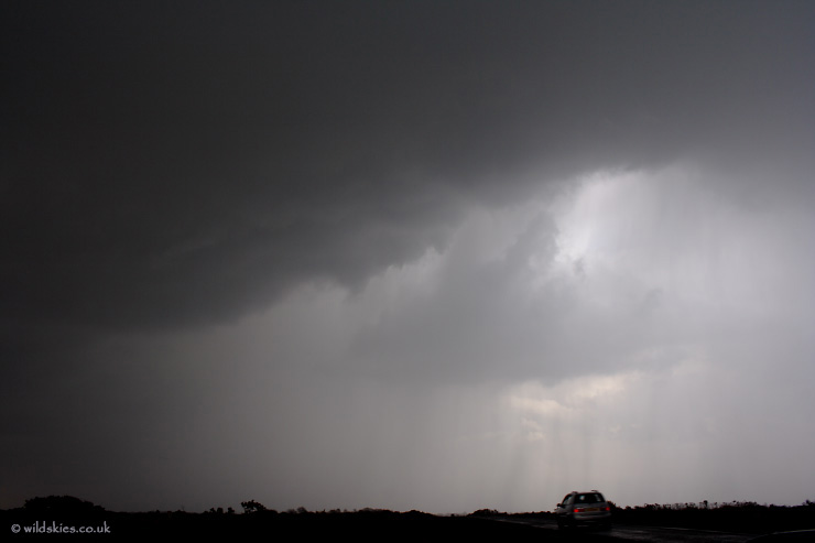
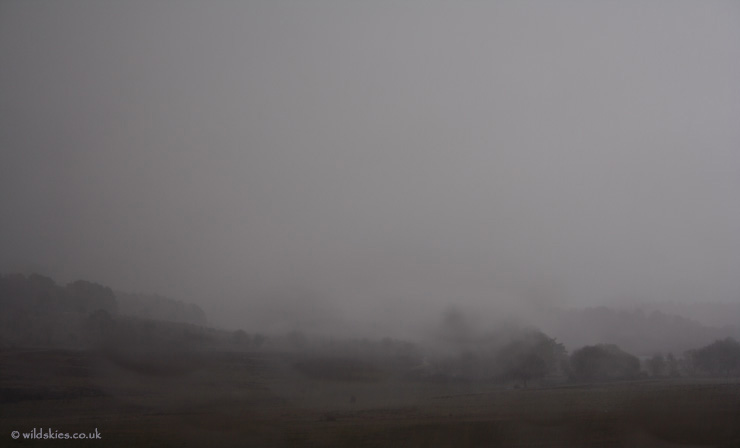
I was lucky enough to be just to the north of the developing storms and positioned myself right in their path. The first shot is looking SE as the storm intensifies. Lightning was striking the ground from the base every 10-20 seconds:
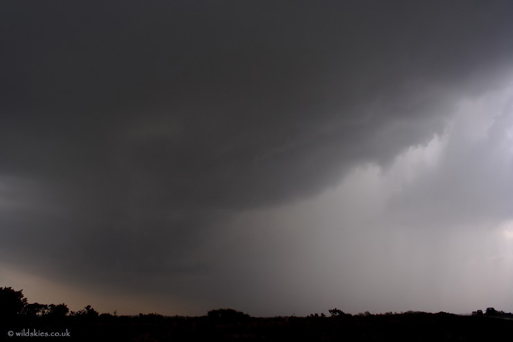
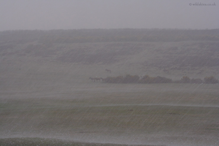
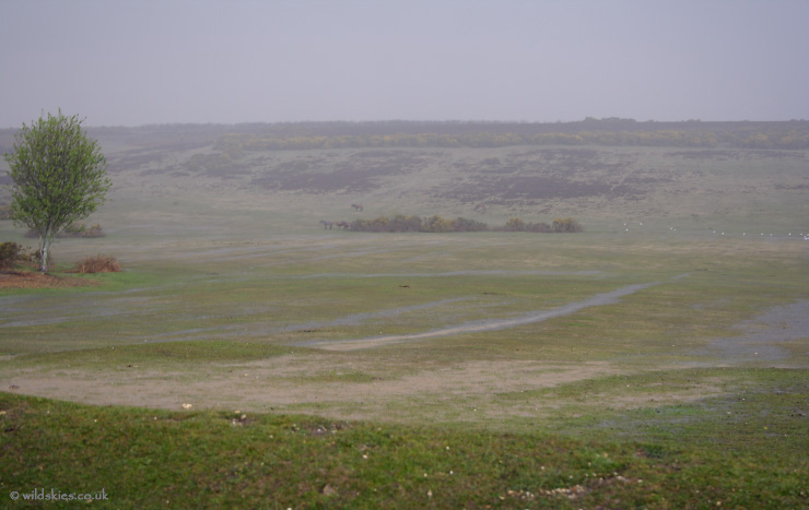
The atmosphere was hazy with the high humidity but the structure of the storm could be seen OK. The core of intense precipitation can be seen to the right:
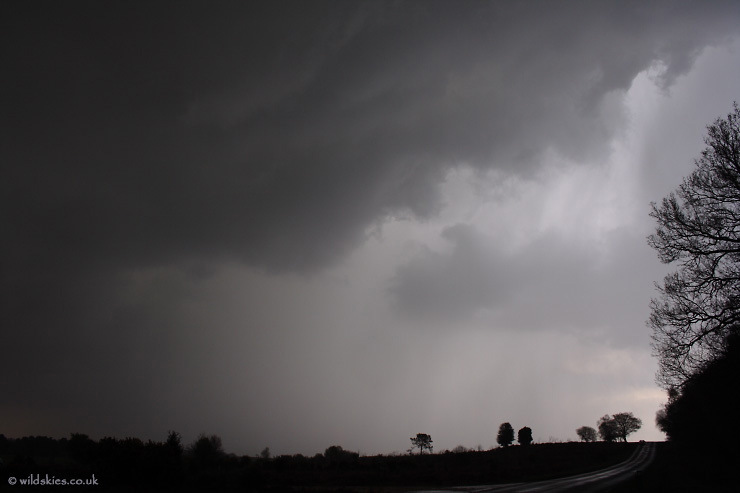
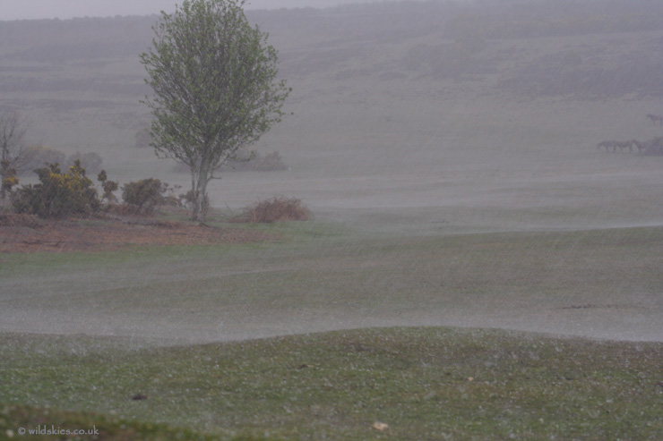
I decided to move my position due to the lack of a good view as it came closer. It was bearing down on me as I drove ahead of it a small distance. Here, I pulled over to get this shot just before the rain started falling:
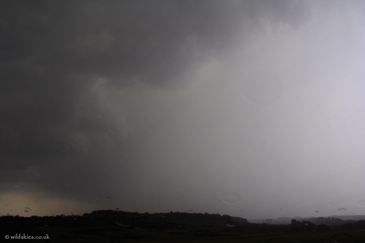
I pulled into a carpark with a view down the small valley the storm was approaching from. Rain had started and lightning was getting very close and increasingly intense, now every 5-10 seconds, so shots are now from within the car:
In the distance the really heavy core of the storm can be seen approaching through the heavy rain. It turned out to have a lot of hail, which was unexpected given the high dewpoints:
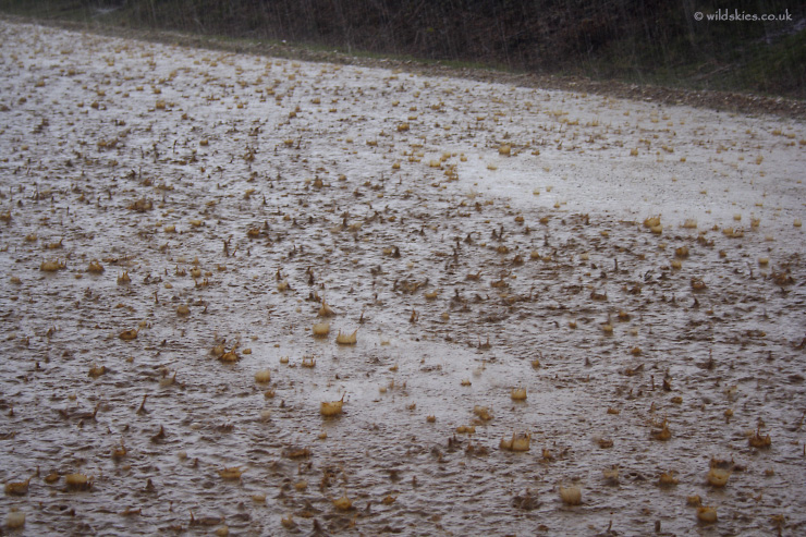
The hail slammed the car extremely hard, with stones generally of pea-size but a few larger 'bangs' indicated stones nearer 1-1.5cm. Winds were rocking the car too, uprooting some local trees (as seen the next day):
The forest was quickly becoming saturated, some hail can be seen lying here too:
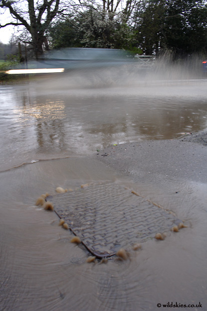
The carpark was now completely submerged in water, showing the large splashes the hail was making:
The deluge lasted about 10-15 minutes, resulting in a huge amount of run-off:
Lightning was still a hazard, so I decided to stay in the car and take a look at the local villages. It's a shame the storm was during the day because I could have had loads of great lightning shots had it occurred at night!
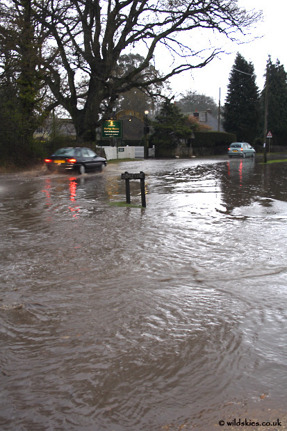
The village of Burley, about 2 miles from where I was parked, was badly flooded. Drains were overflowing all over and even the pavement had holes in it with water pouring out:
Most of the west of the highstreet was under water, just about passable by car:
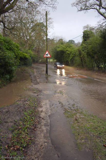
Classic flash flooding was still occuring after I arrived. Rivers of dirty water were bursting from the ditches as I watched, carrying debris across the road:
2008 has been an eventful year so far, especially April! I've already seen more weather this year than the whole of 2007. Hopefully more of the same as summer arrives.