June 15th: Convergence Showers, New Forest
So far, this summer has really been poor for any good thunderstorms or even showers, after such an eventful spring.
A slight north-west flow had established over the country bringing cool weather to the whole of the UK, but temperatures were still
just about reaching 20°C here in the south. This was just enough, on this day, to create a weak sea breeze, which created a sea breeze convergence a few miles inland where it met the north-westerly.
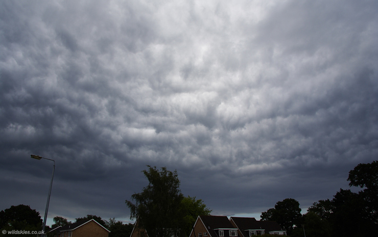
Convection started early in the day, but most flattened out into stratocumulus (sc) and it didn't look promising. However towards mid-afternoon, a deeper line of showers developed on the convergence line across south Dorset and Hampshire, in the regular place in the Forest.
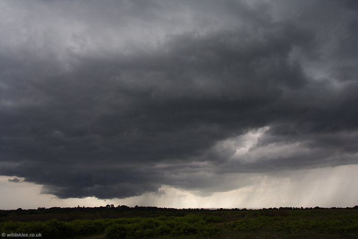
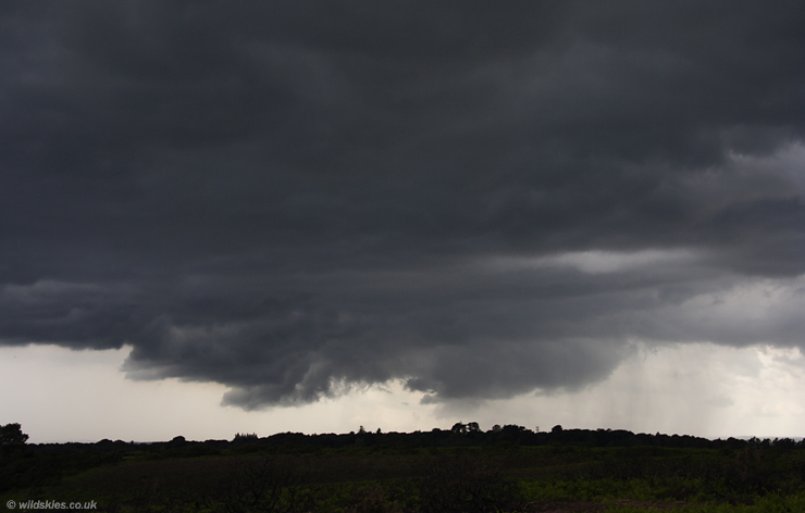
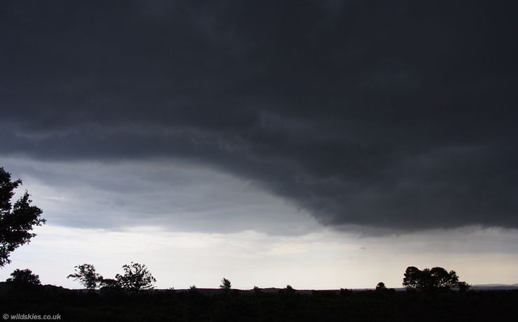
I arrived just as a wall cloud was churning away to my west. It looked even more spectacular on the drive to this vantage point:
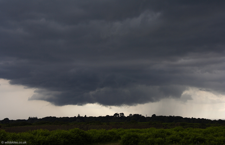
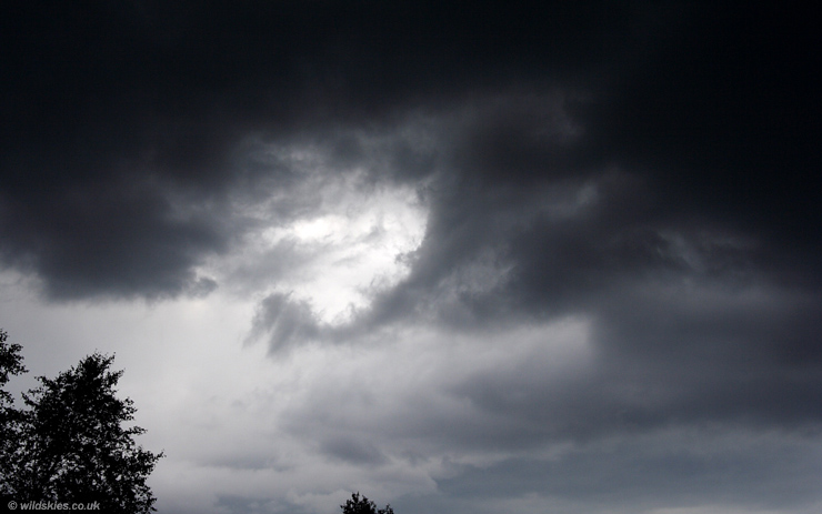
A closer view. Clouds were visibly converging at the centre, with movement from the left (south) and right (north):
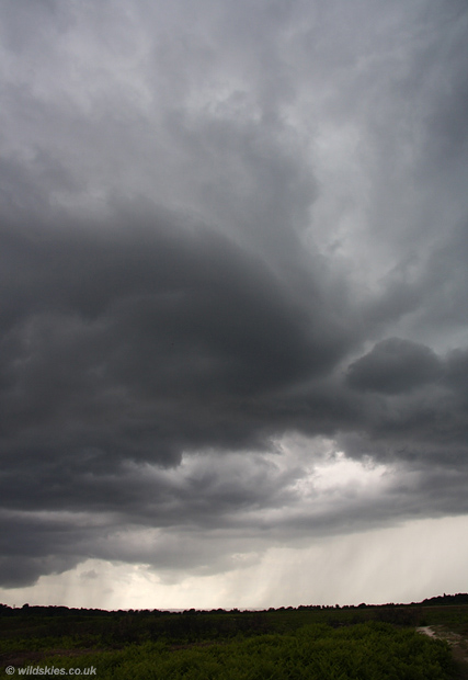
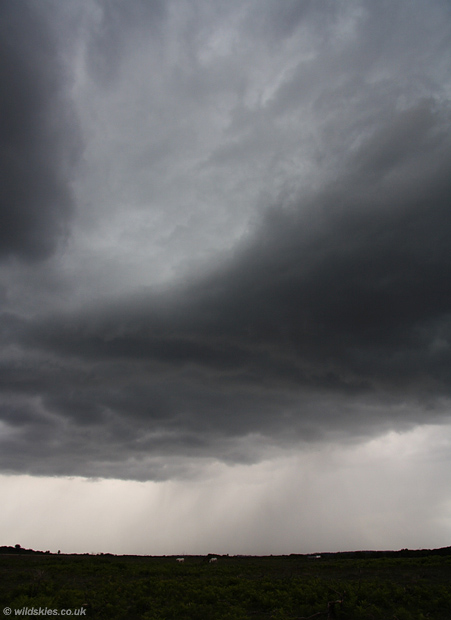
After a few more minutes, it began to develop a notch in the centre. Scud was rising rapidly into this notch, and rotation must have been there, but it was just too weak to form a funnel:
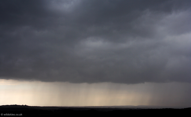
To my north, clouds were really wrapping around in all directions as heavy rain started to fall in the background:
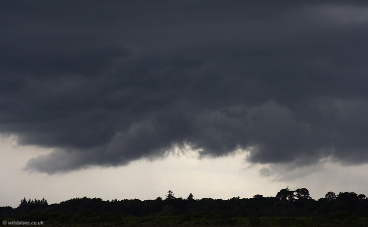
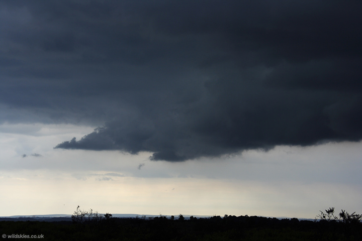
The wall cloud began to split and fall apart at this point, becoming more like a gust front and outflow dominant to the south:
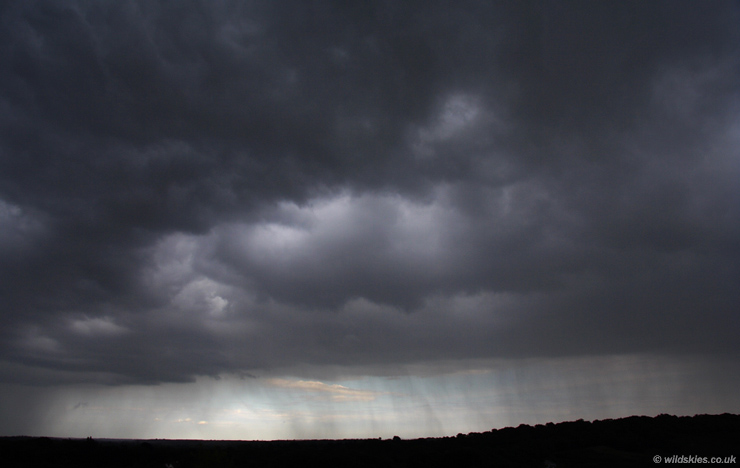
The skies to the north however, looked increasingly evil with a green tinge above and very dark cloud bases:
Inflow from the south was still strong:
To the north, scud was racing up into the cloud base, with loads of vortices visible for brief moments:
To the south, the cloudbase became almost black in appearance due to the bright skies towards the coast:
The only candidate for a possible funnel cloud was this. Rotation above me was very obvious, but I'm not convinced this was a funnel, it just wasn't obvious enough like others I've seen.
Other people were luckier however, with several funnels reported just a few miles SE of my location a short time later:
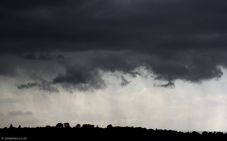
The line was becoming a mess now with an area of heavy rain now sweeping down from the north towards my location. This is the view to the west:
And a final view to the south as I was starting to get soaked by the rain:
On the way home, the rain cleared just in time to see the boiling clouds behind the line as it moved over the sea:
All in all, a more interesting day than most so far the last month or so, but still no thunder or warmth of note.