July 7th: Multicell Thunderstorms Nr Beaulieu, New Forest
This day started cool and mostly cloudy, not conditions suited to thunderstorm formation. By early afternoon, not much had changed, but some heavier showers were forming to the west,
as seen on radar, so I headed out to see what they would produce when passing to the north. Almost as soon as they arrived they turned thundery. The first storm only produced a few rumbles and wasn't very photogenic, so here's a shot of it moving away
with sunshine returning:
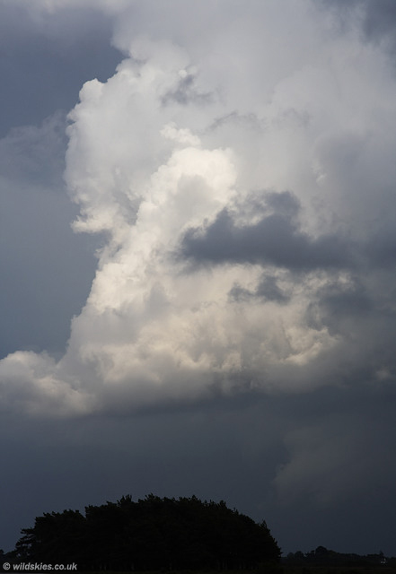
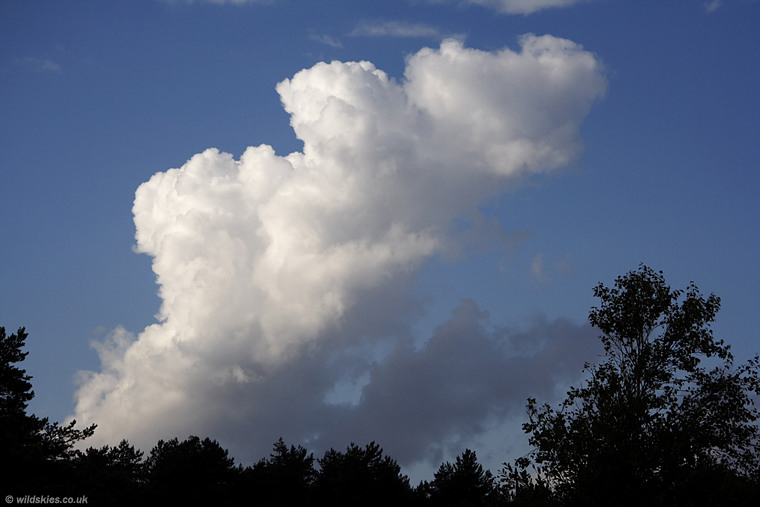
I decided to follow it to the east a few miles, as it looked like it was developing more cells upwind. As I got about 3 miles west of Beaulieu (home of the famous motor museum)
it could be clearly seen, and even produced a couple of rumbles of thunder:
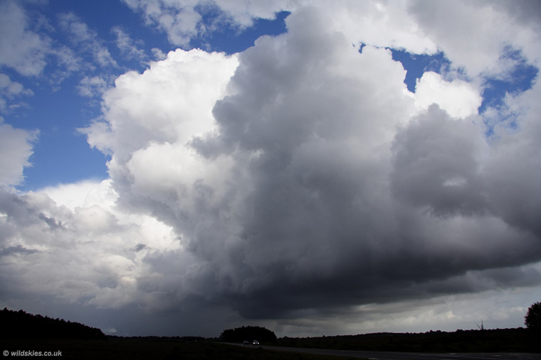
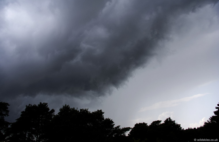
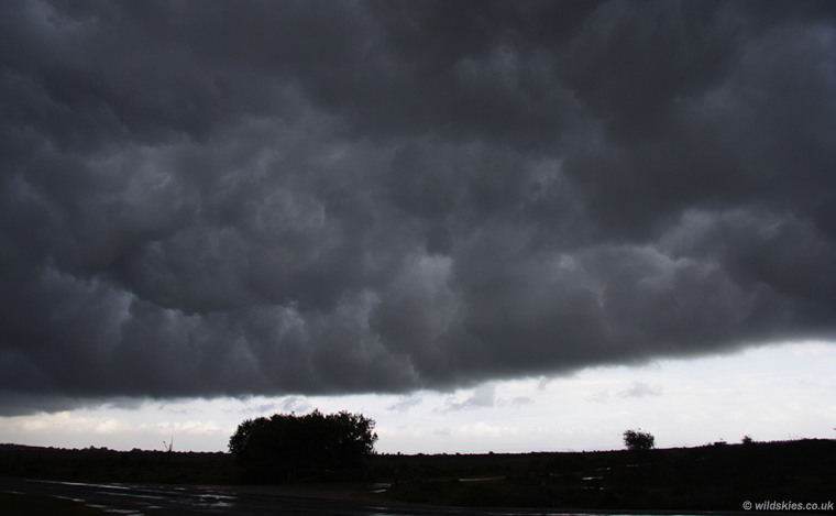
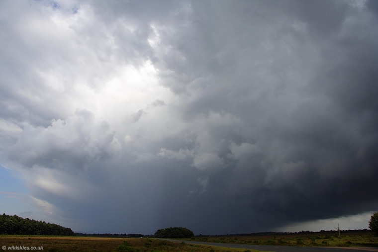
As I was concentrating on this storm, I suddenly heard a very loud crack of thunder close behind by location. I turned round to see this angry-looking gust front approaching from the west behind the trees. The storm had developed in just a few short minutes:
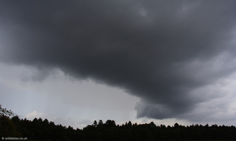
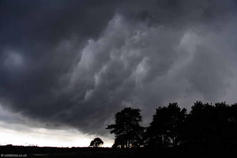
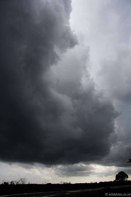
Several more very close lightning strikes struck the ground within 1/4 mile or less. This is the last shot before I returned top the relative safety of the car:
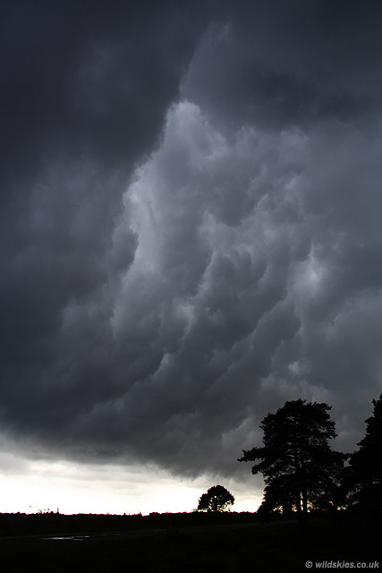
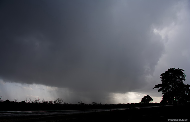
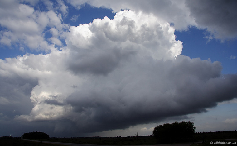
As the gust front raced overhead, it revealed a brilliant display of boiling 'whales mouth' structure, the best I've seen this year. Lightning was frequent and close as it went over:
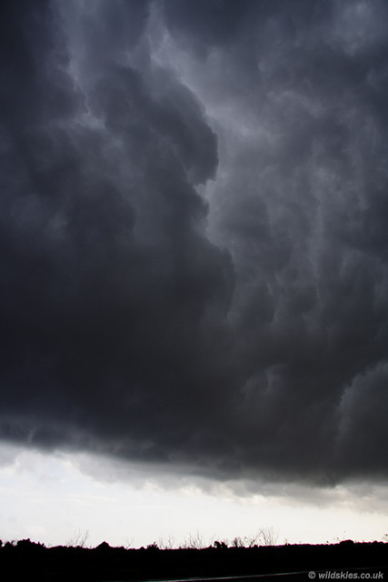
There was a breif gap before the torrential rain and hail arrived with attendant strong winds. About 2 seconds after this shot, a lightning strike hit within feet of the car.
It was so close that I only heard a whip-crack sound with a blinding flash, but no thunder (sound waves travel away from the strike). I was filming the storm, but had stopped to take stills, so unfortunately missed the strike on camera:
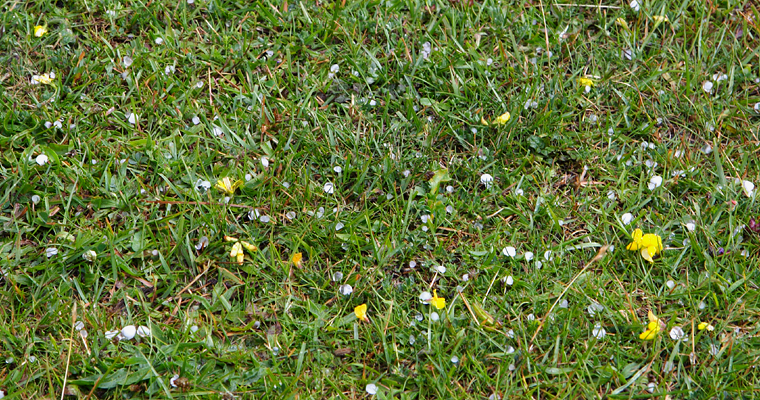
Here's a shot of the hail which fell, about 5 minutes after it had stopped. It was quite small, about 0.5cm in diameter, slightly smaller than pea-sized:
A view of the back of the storm as the rain began to ease, with lightning moving away now:
The view of the whole storm moving away. There appears to be a dividing line down the centre of the image, but its a result of sunlight hitting the left of the storm:
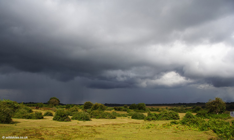
To the north, more convection was occurring, but not as vigorous as the stuff that had just passed:
Meanwhile, the storm which had just passed over developed more storms on its outflow boundary, creating the 'multicell' storm:
Finally a closer look of new storms developing as it moved away to the SE. The whole lot died out about an hour later as the sun began to set: