July 19th: Shelf cloud and lightning, Hampshire/Isle of Wight
The evening before torrential rain bought the worst flooding for years across many parts of the South Midlands and Southern England,
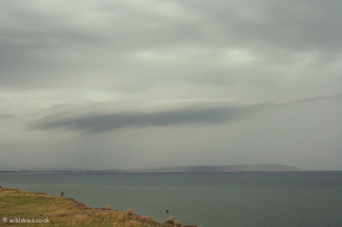
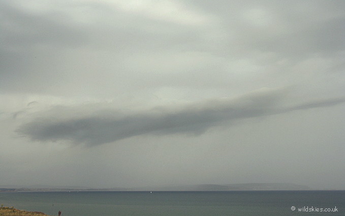
and a band of heavy showers moved up from the English Channel to affect the Isle of Wight and central Hampshire. The first shot shows a shelf cloud in advance of a heavy downpour over the
west of the Isle of Wight:

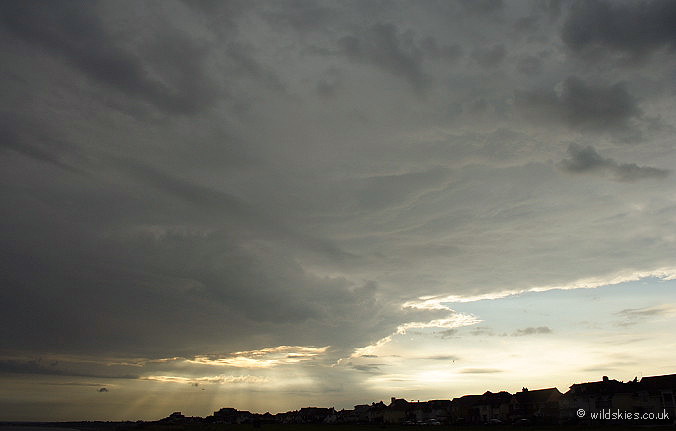
The view to the west was interesting with some nice mid-level cloud and crepuscular rays:

The heavy rain to the east obscures most of the island from my viewpoint behind the shelf cloud:

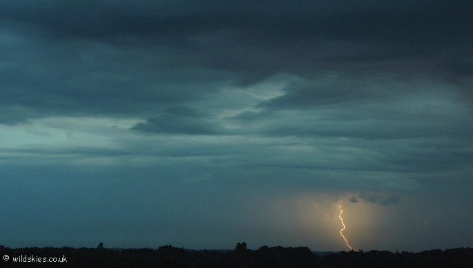
Around an hour and a half later, a thunderstorm developed on the same line of showers.
I headed to a vantage point in the New Forest and pointed the camera towards where the activity was.
I only saw 4 lightning strikes, this being the only one to strike the ground, so I was very lucky to catch it! The lighting was quite spooky as the sun had only set around fifteen minutes previously:
