June 19th: French Import Thunderstorms, New Forest
The first thundery 'plume' of 2007. After waiting for what seemed like years, widespread thunderstorms finally developed on the afternoon of the 19th.
The day looked promising from mid-morning when the first signs of mid-level instability showed up in the form of some Altocumulus Castellanus.
They increased, eventually covering most of the sky from the south.
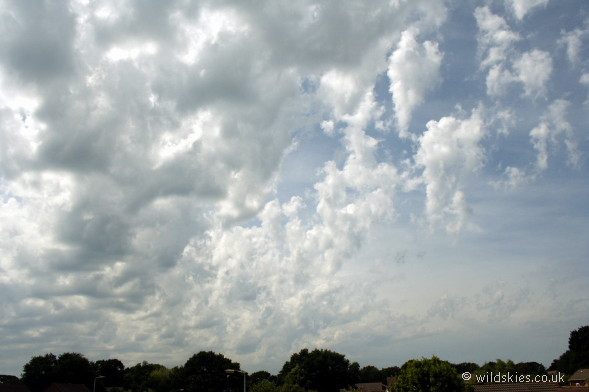
Their bases were becoming increasingly turbulent and undulating - a good sign.
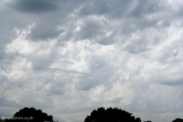
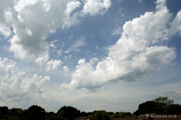
The whole sky began to look very disturbed by early afternoon with some amazing wave-like features.
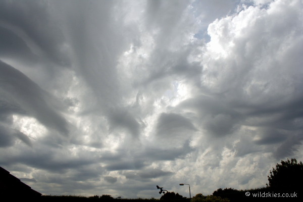
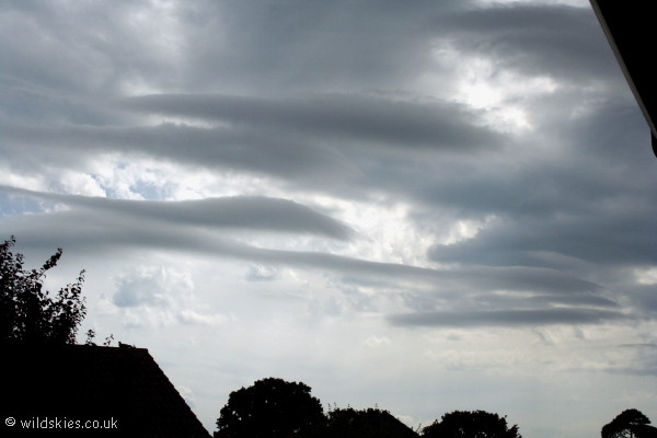
To the south, a whole series of roll clouds began to form rapidly and moved overhead. This is a curious cloud-type which often presents itself in these situations
and seems to be influenced by our proximity to the coastline.
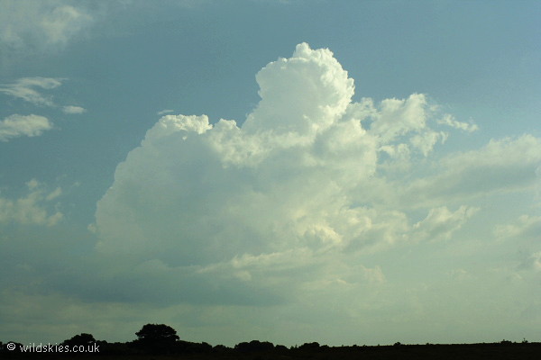
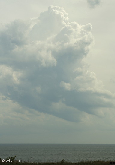
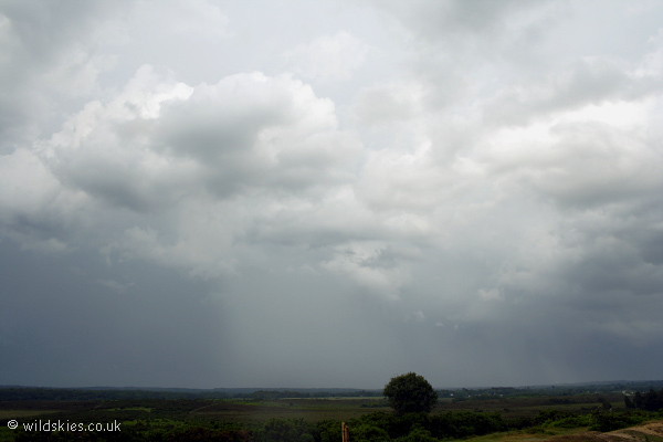
On the coast, the first major developments were starting to take place. Only 30 minutes after this picture was taken, a large thunderstorm had developed.
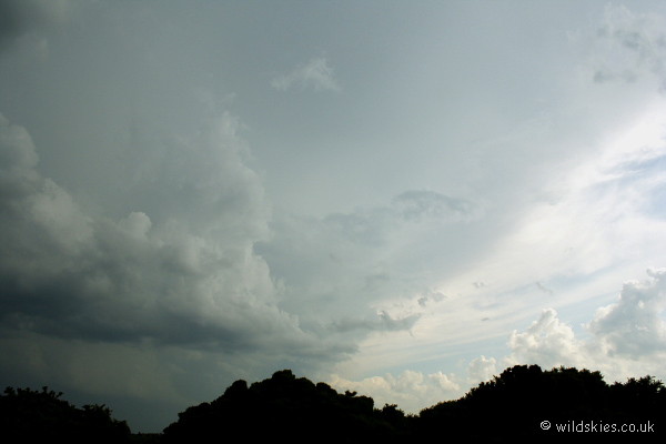
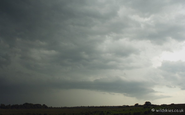
Back inland, a thunderstorm was approaching from the south with a very large anvil overhead. Constant thunder was now audible.
The base of the storm soon came into view with CGs coming down every 4-5 seconds. When it got to within 1 mile, I retreated to the car for shelter.
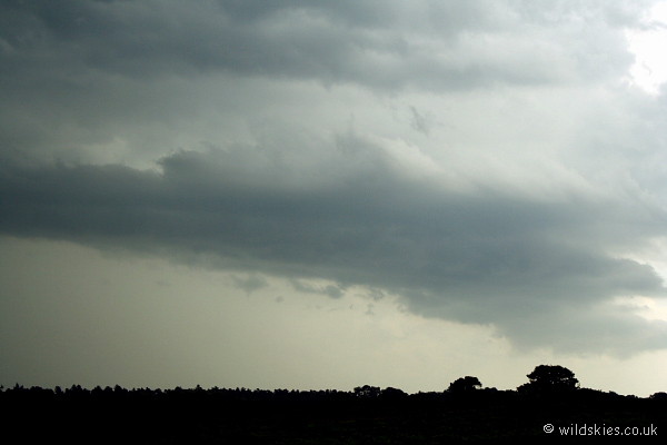
The storm dropped torrents of water for around 20 minutes with some very close CG strikes on the heathland around me. This is the view as it moved away to the north, lightning still visible.
Back towards the southwest, another storm was trying to form, but it only produced a couple of rumbles before dissipating.