July 3rd: Thunderstorms, Hampshire and Dorset
An active day today with numerous and fairly widespread showers and thunderstorms across the south of the UK.
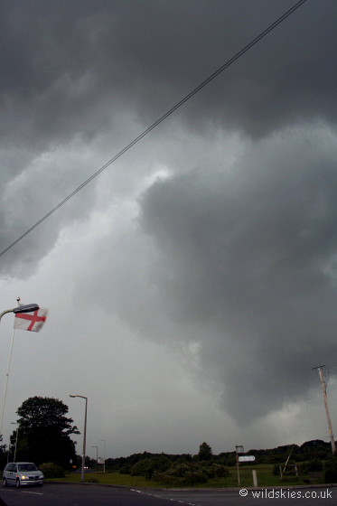
Work prevented getting out before 5 p.m, but there was still plenty of action. The first storm is pictured here at around 5 p.m BST,
near Tiptoe, Hampshire. The gust front was right upon me with very strong winds and frequent lightning:
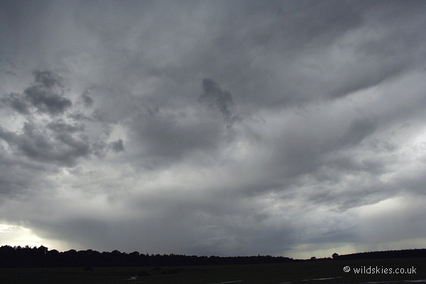
The storm moved through quickly, allowing a view of another storm rumbling away approximately 5 miles to my northwest:
After a report on the UK Weatherworld website of a storm over Poole, Dorset at around 6:45 p.m, I headed to the coast to get a view to the west.
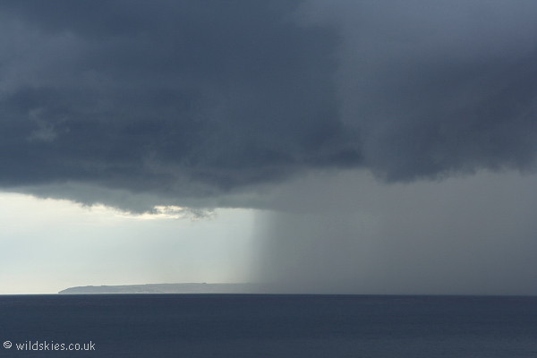
A mature storm was over the Bournemouth/Christchurch area with some impressive structure and intense rain. Several CGs and CCs occurred at intervals of 5-10 seconds:
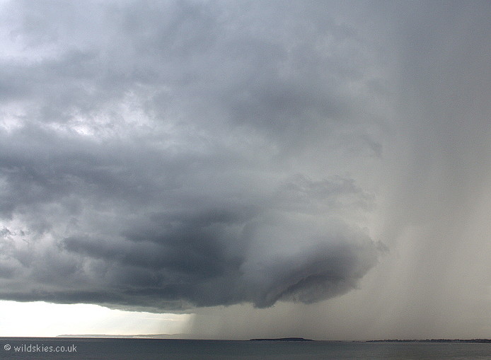
The storm's intense rain devours Hengistbury Head, Dorset:
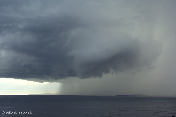
A close-up of the unusually sharp rain front:
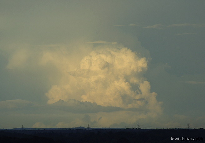
Further inland, back in the New Forest, the lowering sun illuminated some distant convection, probably over 30 miles away:
Further convection in the form of a line of cumulonimbus stretching west to east over central Hampshire: